TYPE:
ORTHO
LAYER:
DS_PHR1A_201512051540484_FR1_PX_W074N18_0414_01938
FORMAT:
DIMAP
RASTER:
image/jp2
General Information
Map Name
Geometric Processing Level
Radiometric Processing Level
BASIC
Image dimensions
Number of columns
41264
Number of rows
43308
Number of spectral bands
4
Dataset framing
Vertice
Longitude (DEG)
Latitude (DEG)
Row
Col
#1
-73.8372043307469
18.66317102776398
1
#2
-73.64161907503869
18.66185834143955
#3
-73.64316691342441
18.46620692461027
#4
-73.83852943748911
18.46750487762965
Dataset sources
PHR
Coordinate Reference System
Projected Coordinate System
Geocoding tables identification
EPSG(6.3)
Projected Coordinate System name
32618
Projected Coordinate System code
urn:ogc:def:crs:EPSG::32618
Geoposition
Upper - Left Map X Coordinate
622634.5
Upper - Left Map Y Coordinate
2063957.5
Image sampling
0.5 x 0.5
Production
Production Date
2015-12-07T16:04:22.534
Job identification
1610125101-001
Dataset Producer Identification
AIRBUS DS GEO
Producer link
http://www.geo-airbusds.com
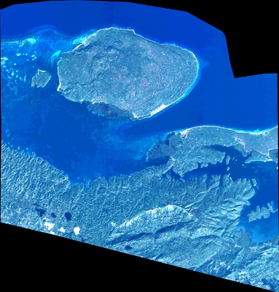
Quicklook
Copyright