|
PHR
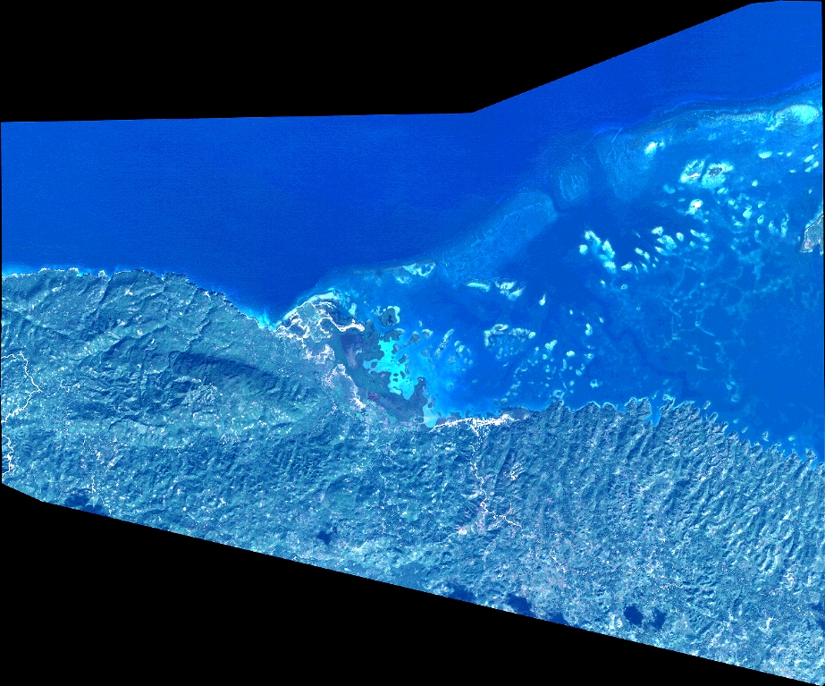
| DS_PHR1A_201512051541141_FR1_PX_W074N18_0214_01578 |
|
| ID | DS_PHR1A_201512051541141_FR1_PX_W074N18_0214_01578 |
| DATE | 2015-12-05 |
| TIME | 15:41:14.1Z |
| INSTRUMENT | PHR1A |
|
|
|
| |
|
| ID | |
| DATE | |
| TIME | |
| INSTRUMENT | 1A |
|
|
|
| |
|
| ID | |
| DATE | |
| TIME | |
| INSTRUMENT | 1A |
|
|
|
| |
|
| ID | |
| DATE | |
| TIME | |
| INSTRUMENT | 1A |
|
|
|
| |
|
| ID | |
| DATE | |
| TIME | |
| INSTRUMENT | 1A |
|
|