TYPE:
ORTHO
LAYER:
DS_PHR1A_201512051540276_FR1_PX_W074N18_0613_01480
FORMAT:
DIMAP
RASTER:
image/jp2
General Information
Map Name
Geometric Processing Level
Radiometric Processing Level
BASIC
Image dimensions
Number of columns
40476
Number of rows
34541
Number of spectral bands
4
Dataset framing
Vertice
Longitude (DEG)
Latitude (DEG)
Row
Col
#1
-73.67193637705152
18.61370044085949
1
#2
-73.48015469741324
18.61224970197341
#3
-73.48153368185622
18.45621626124236
#4
-73.67314148783777
18.45765398180128
Dataset sources
PHR
Coordinate Reference System
Projected Coordinate System
Geocoding tables identification
EPSG(6.3)
Projected Coordinate System name
32618
Projected Coordinate System code
urn:ogc:def:crs:EPSG::32618
Geoposition
Upper - Left Map X Coordinate
640107.5
Upper - Left Map Y Coordinate
2058604
Image sampling
0.5 x 0.5
Production
Production Date
2015-12-07T16:01:50.294
Job identification
1610127101-001
Dataset Producer Identification
AIRBUS DS GEO
Producer link
http://www.geo-airbusds.com
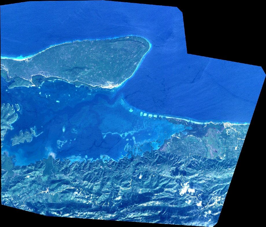
Quicklook
Copyright