TYPE:
ORTHO
LAYER:
DS_PHR1B_201512061533034_FR1_PX_W074N18_0306_01342
FORMAT:
DIMAP
RASTER:
image/jp2
General Information
Map Name
Geometric Processing Level
Radiometric Processing Level
BASIC
Image dimensions
Number of columns
27503
Number of rows
30034
Number of spectral bands
4
Dataset framing
Vertice
Longitude (DEG)
Latitude (DEG)
Row
Col
#1
-73.83995878154145
18.30204559979634
1
#2
-73.70987093302945
18.30121116673557
#3
-73.71087115549264
18.16552028450625
#4
-73.84085820652228
18.16634810983151
Dataset sources
PHR
Coordinate Reference System
Projected Coordinate System
Geocoding tables identification
EPSG(6.3)
Projected Coordinate System name
32618
Projected Coordinate System code
urn:ogc:def:crs:EPSG::32618
Geoposition
Upper - Left Map X Coordinate
622600.5
Upper - Left Map Y Coordinate
2023993.5
Image sampling
0.5 x 0.5
Production
Production Date
2015-12-28T15:27:45.197
Job identification
1629598101-001
Dataset Producer Identification
AIRBUS DS GEO
Producer link
http://www.geo-airbusds.com
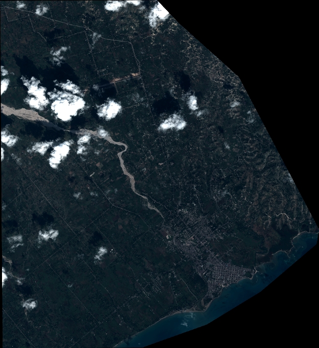
Quicklook
Copyright