TYPE:
ORTHO
LAYER:
DS_PHR1B_201512251536493_FR1_PX_W074N18_0206_02942
FORMAT:
DIMAP
RASTER:
image/jp2
General Information
Map Name
Geometric Processing Level
Radiometric Processing Level
BASIC
Image dimensions
Number of columns
40065
Number of rows
65013
Number of spectral bands
4
Dataset framing
Vertice
Longitude (DEG)
Latitude (DEG)
Row
Col
#1
-73.94564740790015
18.39569951408236
1
#2
-73.75603258047522
18.39455365181851
#3
-73.75812110310898
18.10082068549816
#4
-73.94741773856352
18.10194700867729
Dataset sources
PHR
Coordinate Reference System
Projected Coordinate System
Geocoding tables identification
EPSG(6.3)
Projected Coordinate System name
32618
Projected Coordinate System code
urn:ogc:def:crs:EPSG::32618
Geoposition
Upper - Left Map X Coordinate
611369.5
Upper - Left Map Y Coordinate
2034289
Image sampling
0.5 x 0.5
Production
Production Date
2015-12-28T15:41:26.582
Job identification
1629599101-001
Dataset Producer Identification
AIRBUS DS GEO
Producer link
http://www.geo-airbusds.com
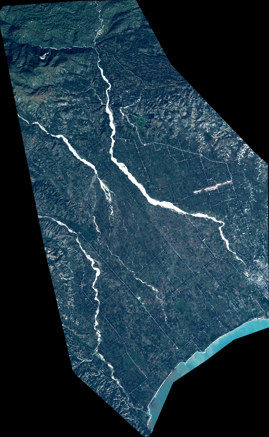
Quicklook
Copyright