TYPE:
SENSOR
LAYER:
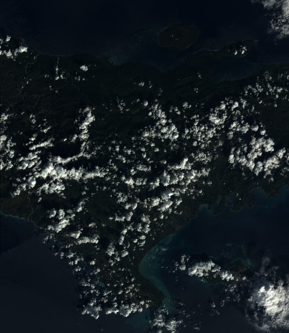
SEN_SPOT6_20160106_151850100_000
FORMAT:
DIMAP
RASTER:
image/tiff
General Information
Map Name
Geometric Processing Level
Radiometric Processing Level
BASIC
Image dimensions
Number of columns
9647
Number of rows
11119
Number of spectral bands
4
Dataset framing
Vertice
Longitude (DEG)
Latitude (DEG)
Row
Col
#1
-74.1663096804
18.7394596789
1
#2
-73.4796960854
18.6644868615
#3
-73.4728365921
17.9278530757
#4
-74.17190002
18.013082147
Dataset sources
SPOT
Coordinate Reference System
Projected Coordinate System
Geocoding tables identification
ITU(0.0)
Production
Production Date
2016-04-14T12:45:58.00Z
Job identification
SPOT6_20160414_1215361l7ojeecvgfu2_1
Dataset Producer Identification
"SRD GEOSUD / IRD, Irstea, IGN"
Producer link
http://geosud.teledetection.fr/
Quicklook
Copyright