TYPE:
SENSOR
LAYER:
SEN_SPOT6_20160108_150437400_000
FORMAT:
DIMAP
RASTER:
image/tiff
General Information
Map Name
Geometric Processing Level
Radiometric Processing Level
BASIC
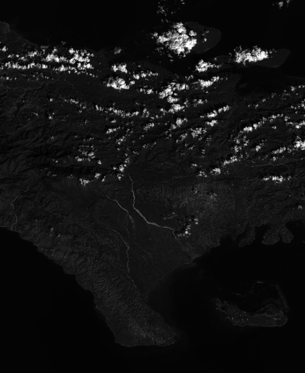
Image dimensions
Number of columns
38601
Number of rows
47185
Number of spectral bands
1
Dataset framing
Vertice
Longitude (DEG)
Latitude (DEG)
Row
Col
#1
-74.1293993733
18.6949878639
#2
-73.5350482298
18.6796156535
#3
-73.5376792547
17.9646589804
#4
-74.1260355997
17.9753819204
Dataset sources
SPOT
Coordinate Reference System
Projected Coordinate System
Geocoding tables identification
ITU(0.0)
Production
Production Date
2016-04-14T13:05:16.00Z
Job identification
SPOT6_20160414_1234181qzo2qbcibk93_1
Dataset Producer Identification
"SRD GEOSUD / IRD, Irstea, IGN"
Producer link
http://geosud.teledetection.fr/
Quicklook
Copyright