TYPE:
SENSOR
LAYER:
SEN_SPOT6_20160108_150437400_000
FORMAT:
DIMAP
RASTER:
image/tiff
General Information
Map Name
Geometric Processing Level
Radiometric Processing Level
BASIC
Image dimensions
Number of columns
9650
Number of rows
11796
Number of spectral bands
4
Dataset framing
Vertice
Longitude (DEG)
Latitude (DEG)
Row
Col
#1
-74.1293681235
18.6949565283
1
#2
-73.5350788611
18.679586109
#3
-73.5377094374
17.9646898111
#4
-74.1260050326
17.9754118353
Dataset sources
SPOT
Coordinate Reference System
Projected Coordinate System
Geocoding tables identification
ITU(0.0)
Production
Production Date
2016-04-14T13:05:55.00Z
Job identification
SPOT6_20160414_1234081h6prnep81ly3_1
Dataset Producer Identification
"SRD GEOSUD / IRD, Irstea, IGN"
Producer link
http://geosud.teledetection.fr/
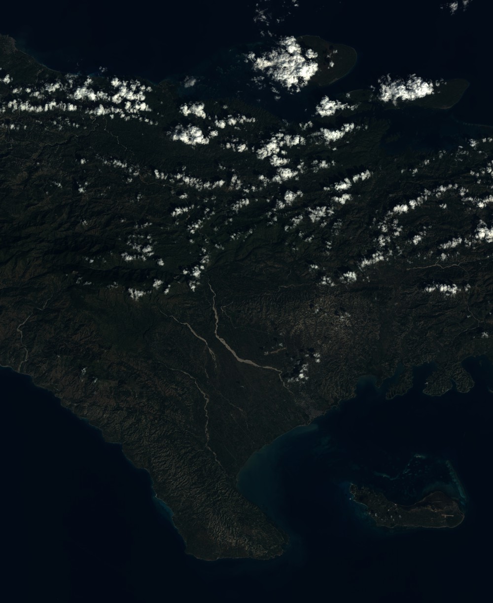
Quicklook
Copyright