TYPE:
SENSOR
LAYER:
SEN_SPOT6_20160108_150457100_000
FORMAT:
DIMAP
RASTER:
image/tiff
General Information
Map Name
Geometric Processing Level
Radiometric Processing Level
BASIC
Image dimensions
Number of columns
9649
Number of rows
7566
Number of spectral bands
4
Dataset framing
Vertice
Longitude (DEG)
Latitude (DEG)
Row
Col
#1
-74.612317654
18.7488612601
1
#2
-73.9719552156
18.7102795166
#3
-73.9759520976
18.1825594064
#4
-74.6078469161
18.2145718247
Dataset sources
SPOT
Coordinate Reference System
Projected Coordinate System
Geocoding tables identification
ITU(0.0)
Production
Production Date
2016-04-14T13:32:35.00Z
Job identification
SPOT6_20160414_1311061mxoxaixoe70y_1
Dataset Producer Identification
"SRD GEOSUD / IRD, Irstea, IGN"
Producer link
http://geosud.teledetection.fr/
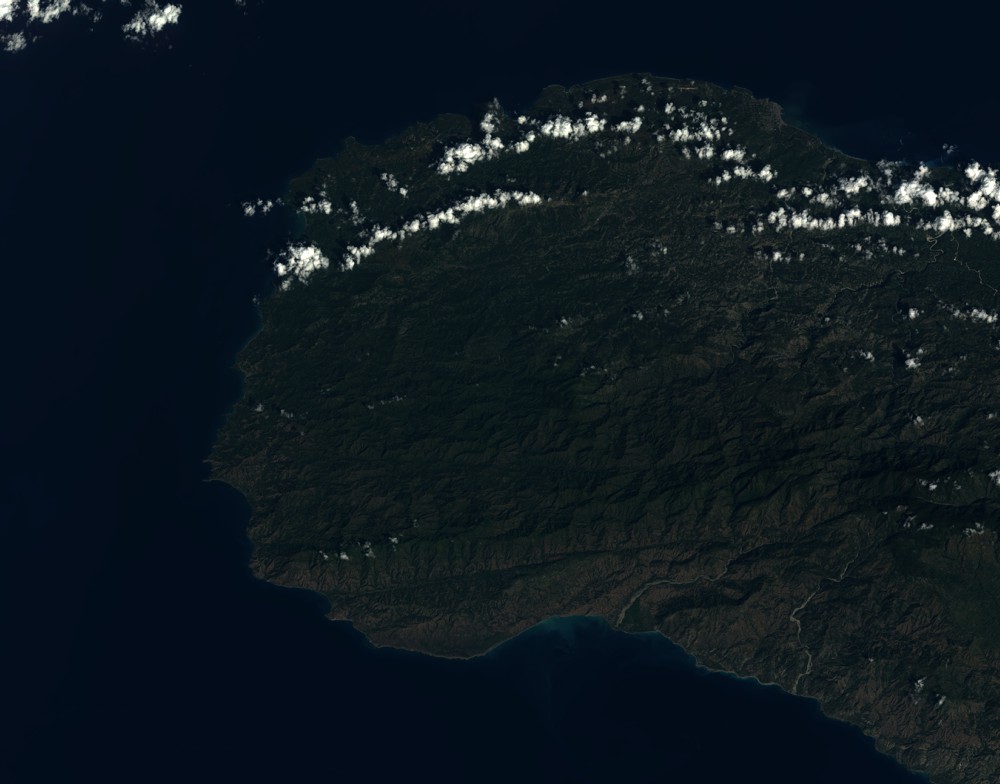
Quicklook
Copyright