TYPE:
SENSOR
LAYER:
SEN_SPOT7_20160114_150655100_000
FORMAT:
DIMAP
RASTER:
image/tiff
General Information
Map Name
Geometric Processing Level
Radiometric Processing Level
BASIC
Image dimensions
Number of columns
9652
Number of rows
7533
Number of spectral bands
4
Dataset framing
Vertice
Longitude (DEG)
Latitude (DEG)
Row
Col
#1
-74.1505820306
18.6687506178
1
#2
-73.5068064181
18.7064714646
#3
-73.5090018832
18.1712273578
#4
-74.1479871216
18.1303425714
Dataset sources
SPOT
Coordinate Reference System
Projected Coordinate System
Geocoding tables identification
ITU(0.0)
Production
Production Date
2016-04-14T14:23:53.00Z
Job identification
SPOT7_20160414_1320041bhmk0ou6trx3_1
Dataset Producer Identification
"SRD GEOSUD / IRD, Irstea, IGN"
Producer link
http://geosud.teledetection.fr/
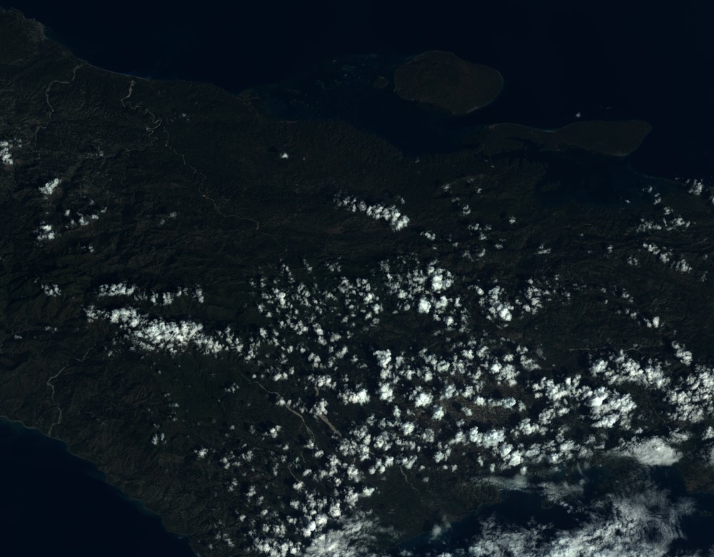
Quicklook
Copyright