TYPE:
ORTHO
LAYER:
ORT_SPOT7_20160126_151327300_000
FORMAT:
DIMAP
RASTER:
image/jp2
General Information
Map Name
Geometric Processing Level
Radiometric Processing Level
BASIC
Image dimensions
Number of columns
42916
Number of rows
41764
Number of spectral bands
1
Dataset framing
Vertice
Longitude (DEG)
Latitude (DEG)
Row
Col
#1
-74.5930274849
18.7724059233
#2
-73.9822912262
18.7700783779
#3
-73.9856278084
18.20397561
#4
-74.5943619885
18.2062280995
Dataset sources
SPOT
Coordinate Reference System
Projected Coordinate System
Geocoding tables identification
ITU(0.0)
Projected Coordinate System name
32618 WGS84/UTM 18N (N. hemisphere - 78W to 72W)
Projected Coordinate System code
urn:ogc:def:crs:EPSG::32618
Geoposition
Upper - Left Map X Coordinate
542892.0
Upper - Left Map Y Coordinate
2075694.0
Image sampling
1.5 x 1.5
Production
Production Date
2017-04-04T15:35:22.00Z
Job identification
SPOT7_20170404_1509411dn8s7m17nxp8_1
Dataset Producer Identification
"SRD GEOSUD / IRD, Irstea, IGN"
Producer link
http://geosud.teledetection.fr/
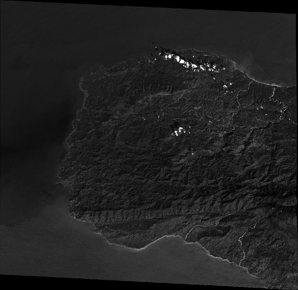
Quicklook
Copyright