TYPE:
ORTHO
LAYER:
ORT_SPOT7_20160625_150343900_000
FORMAT:
DIMAP
RASTER:
image/jp2
General Information
Map Name
Geometric Processing Level
Radiometric Processing Level
BASIC
Image dimensions
Number of columns
41440
Number of rows
40396
Number of spectral bands
1
Dataset framing
Vertice
Longitude (DEG)
Latitude (DEG)
Row
Col
#1
-74.1017433717
18.7514417197
#2
-73.5121704048
18.7476819274
#3
-73.5168849101
18.2002202897
#4
-74.1045904989
18.2038626994
Dataset sources
SPOT
Coordinate Reference System
Projected Coordinate System
Geocoding tables identification
ITU(0.0)
Projected Coordinate System name
32618 WGS84/UTM 18N (N. hemisphere - 78W to 72W)
Projected Coordinate System code
urn:ogc:def:crs:EPSG::32618
Geoposition
Upper - Left Map X Coordinate
594684.0
Upper - Left Map Y Coordinate
2073564.0
Image sampling
1.5 x 1.5
Production
Production Date
2017-04-04T15:35:53.00Z
Job identification
SPOT7_20170404_1510361lvnruzhotdui_1
Dataset Producer Identification
"SRD GEOSUD / IRD, Irstea, IGN"
Producer link
http://geosud.teledetection.fr/
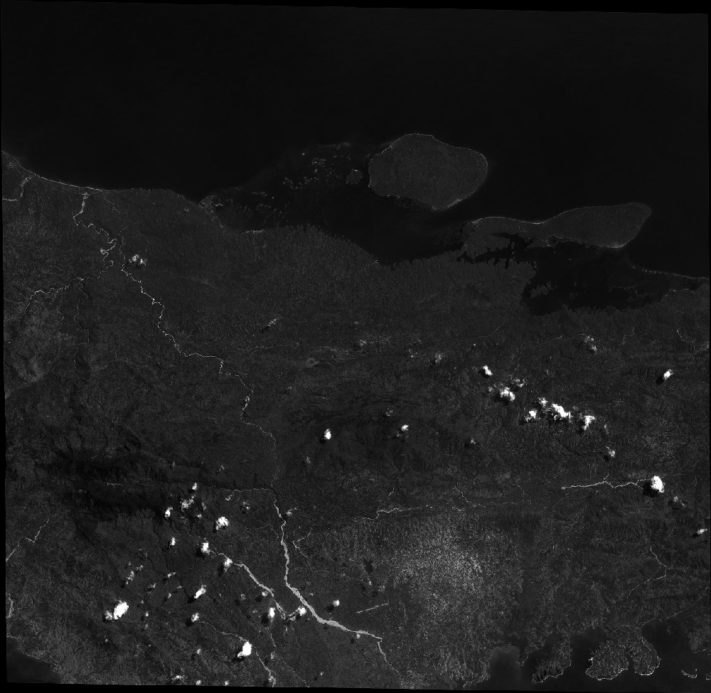
Quicklook
Copyright