TYPE:
SENSOR
LAYER:
SEN_SPOT7_20160625_150343900_000
FORMAT:
DIMAP
RASTER:
image/jp2
General Information
Map Name
Geometric Processing Level
Radiometric Processing Level
BASIC
Image dimensions
Number of columns
9652
Number of rows
9173
Number of spectral bands
4
Dataset framing
Vertice
Longitude (DEG)
Latitude (DEG)
Row
Col
#1
-74.1009700187
18.7508055155
1
#2
-73.5150282222
18.7362741736
#3
-73.5170891543
18.2001697533
#4
-74.0984156592
18.2122460074
Dataset sources
SPOT
Coordinate Reference System
Projected Coordinate System
Geocoding tables identification
ITU(0.0)
Production
Production Date
2017-04-04T15:30:45.00Z
Job identification
SPOT7_20170404_1510091r71rjcfoclzp_1
Dataset Producer Identification
"SRD GEOSUD / IRD, Irstea, IGN"
Producer link
http://geosud.teledetection.fr/
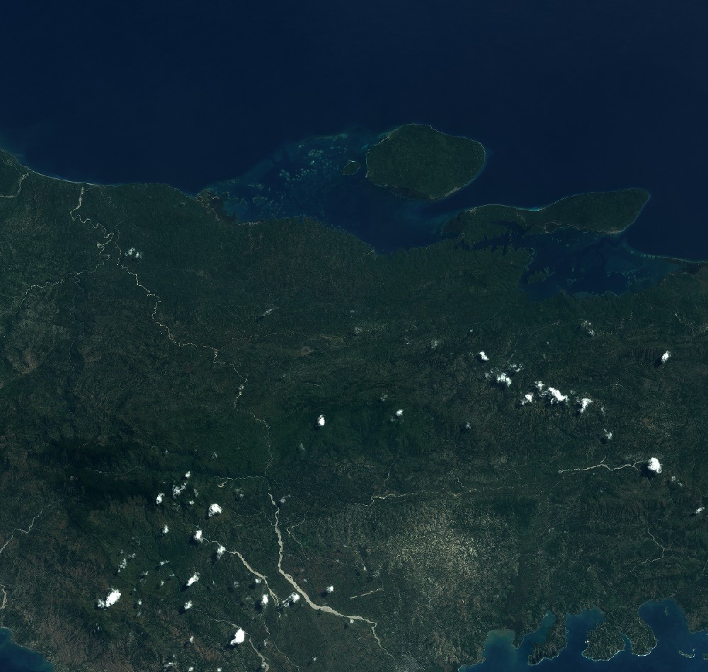
Quicklook
Copyright