TYPE:
ORTHO
LAYER:
DS_PHR1A_201610071529430_FR1_PX_W075N18_1008_01018
FORMAT:
DIMAP
RASTER:
image/jp2
General Information
Map Name
Geometric Processing Level
Radiometric Processing Level
BASIC
Image dimensions
Number of columns
10606
Number of rows
6594
Number of spectral bands
4
Dataset framing
Vertice
Longitude (DEG)
Latitude (DEG)
Row
Col
#1
-74.29489112742348
18.3675946513022
1
#2
-74.09413753527042
18.36674546252841
#3
-74.09475695647781
18.24758072685734
#4
-74.2953733066322
18.2484240277301
Dataset sources
PHR
Coordinate Reference System
Projected Coordinate System
Geocoding tables identification
EPSG(6.3)
Projected Coordinate System name
32618
Projected Coordinate System code
urn:ogc:def:crs:EPSG::32618
Geoposition
Upper - Left Map X Coordinate
574488
Upper - Left Map Y Coordinate
2031002
Image sampling
2 x 2
Production
Production Date
2016-10-09T19:42:35.225
Job identification
1994061101-002
Dataset Producer Identification
AIRBUS DS GEO
Producer link
http://www.geo-airbusds.com
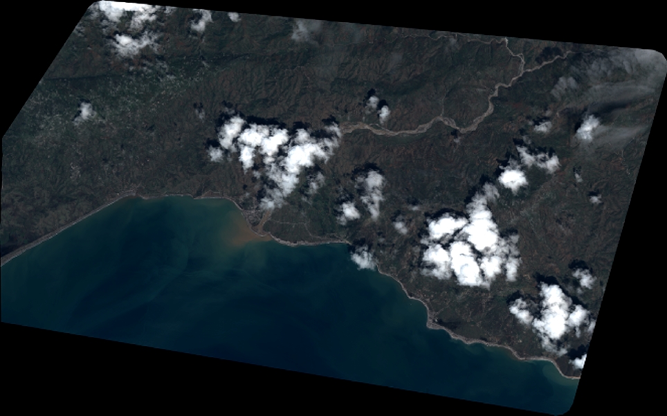
Quicklook
Copyright