TYPE:
ORTHO
LAYER:
DS_PHR1A_201610071529195_FR1_PX_W075N18_1116_01489
FORMAT:
DIMAP
RASTER:
image/jp2
General Information
Map Name
Geometric Processing Level
Radiometric Processing Level
BASIC
Image dimensions
Number of columns
42026
Number of rows
35600
Number of spectral bands
4
Dataset framing
Vertice
Longitude (DEG)
Latitude (DEG)
Row
Col
#1
-74.22208963432199
18.71059914557521
1
#2
-74.0228118692621
18.70966613006198
#3
-74.02373074890944
18.54881695627268
#4
-74.22282117892667
18.54974137979187
Dataset sources
PHR
Coordinate Reference System
Projected Coordinate System
Geocoding tables identification
EPSG(6.3)
Projected Coordinate System name
32618
Projected Coordinate System code
urn:ogc:def:crs:EPSG::32618
Geoposition
Upper - Left Map X Coordinate
582017
Upper - Left Map Y Coordinate
2068985.5
Image sampling
0.5 x 0.5
Production
Production Date
2016-10-09T16:03:27.760
Job identification
1993736101-001
Dataset Producer Identification
AIRBUS DS GEO
Producer link
http://www.geo-airbusds.com
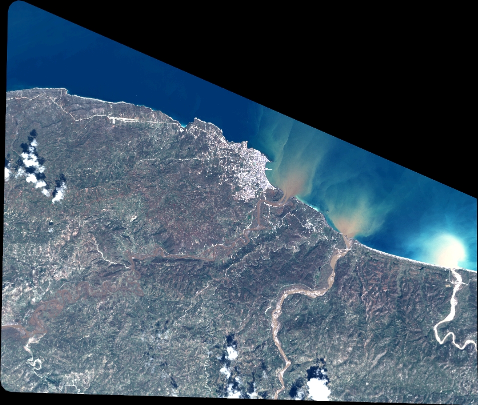
Quicklook
Copyright