TYPE:
SYSTEM_ORTHO
LAYER:
DS_PHR1A_201610071529199_FR1_PX_W075N18_1116_01547
FORMAT:
DIMAP
RASTER:
image/jp2
General Information
Map Name
Geometric Processing Level
Radiometric Processing Level
BASIC
Image dimensions
Number of columns
23199
Number of rows
36216
Number of spectral bands
4
Dataset framing
Vertice
Longitude (DEG)
Latitude (DEG)
Row
Col
#1
-74.20163366455948
18.68601307226375
1
#2
-74.09164639230023
18.68551286670831
#3
-74.09251404514646
18.52187668847095
#4
-74.20239628738348
18.5223722027815
Dataset sources
PHR
Coordinate Reference System
Projected Coordinate System
Geocoding tables identification
EPSG(6.3)
Projected Coordinate System name
32618
Projected Coordinate System code
urn:ogc:def:crs:EPSG::32618
Geoposition
Upper - Left Map X Coordinate
584186
Upper - Left Map Y Coordinate
2066274.5
Image sampling
0.5 x 0.5
Production
Production Date
2016-10-07T18:09:33.357
Job identification
1991396101-001
Dataset Producer Identification
AIRBUS DS GEO
Producer link
http://www.geo-airbusds.com
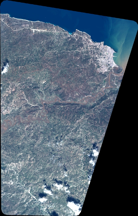
Quicklook
Copyright