TYPE:
ORTHO
LAYER:
DS_PHR1B_201610081522313_FR1_PX_W074N18_0306_01647
FORMAT:
DIMAP
RASTER:
image/jp2
General Information
Map Name
Geometric Processing Level
Radiometric Processing Level
BASIC
Image dimensions
Number of columns
41449
Number of rows
40744
Number of spectral bands
4
Dataset framing
Vertice
Longitude (DEG)
Latitude (DEG)
Row
Col
#1
-73.89633913984282
18.32926024610093
1
#2
-73.70025291674058
18.32802492239097
#3
-73.70161996214772
18.14394636188982
#4
-73.89750005700682
18.14516843521056
Dataset sources
PHR
Coordinate Reference System
Projected Coordinate System
Geocoding tables identification
EPSG(6.3)
Projected Coordinate System name
32618
Projected Coordinate System code
urn:ogc:def:crs:EPSG::32618
Geoposition
Upper - Left Map X Coordinate
616623
Upper - Left Map Y Coordinate
2026968
Image sampling
0.5 x 0.5
Production
Production Date
2016-10-09T10:07:54.644
Job identification
1992263101-001
Dataset Producer Identification
AIRBUS DS GEO
Producer link
http://www.geo-airbusds.com
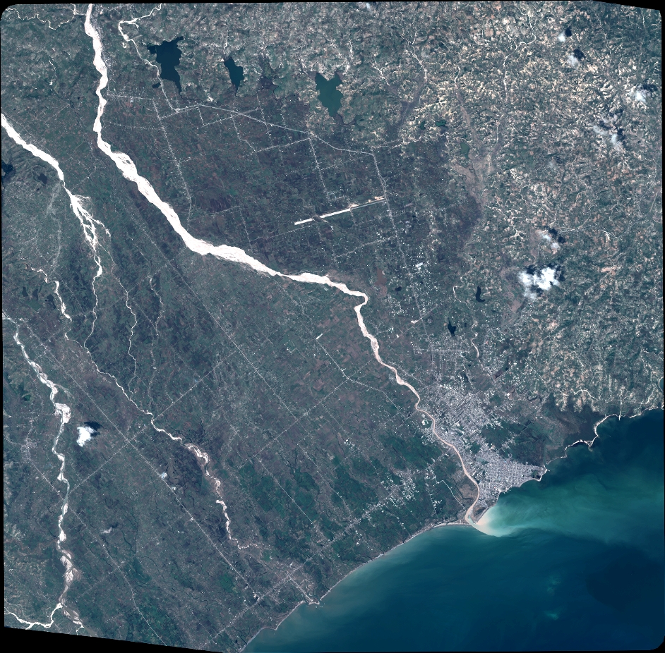
Quicklook
Copyright