TYPE:
ORTHO
LAYER:
DS_PHR1B_201610111548555_FR1_PX_W075N18_0808_01166
FORMAT:
DIMAP
RASTER:
image/jp2
General Information
Map Name
Geometric Processing Level
Radiometric Processing Level
BASIC
Image dimensions
Number of columns
9748
Number of rows
6725
Number of spectral bands
4
Dataset framing
Vertice
Longitude (DEG)
Latitude (DEG)
Row
Col
#1
-74.44083988939919
18.38243140118144
1
#2
-74.25630606732339
18.38179969128075
#3
-74.25682512732904
18.2602624052958
#4
-74.44123017335012
18.26088965121824
Dataset sources
PHR
Coordinate Reference System
Projected Coordinate System
Geocoding tables identification
EPSG(6.3)
Projected Coordinate System name
32618
Projected Coordinate System code
urn:ogc:def:crs:EPSG::32618
Geoposition
Upper - Left Map X Coordinate
559064
Upper - Left Map Y Coordinate
2032590
Image sampling
2 x 2
Production
Production Date
2016-10-12T09:03:29.772
Job identification
1998151101-002
Dataset Producer Identification
AIRBUS DS GEO
Producer link
http://www.geo-airbusds.com
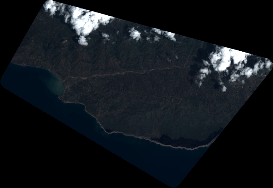
Quicklook
Copyright