TYPE:
SYSTEM_ORTHO
LAYER:
DS_PHR1B_201610111548283_FR1_PX_W075N18_0915_01601
FORMAT:
DIMAP
RASTER:
image/jp2
General Information
Map Name
Geometric Processing Level
Radiometric Processing Level
BASIC
Image dimensions
Number of columns
40379
Number of rows
38004
Number of spectral bands
4
Dataset framing
Vertice
Longitude (DEG)
Latitude (DEG)
Row
Col
#1
-74.36378134957647
18.69526376677193
1
#2
-74.17232373310404
18.69451663219496
#3
-74.17315358009445
18.52279784994827
#4
-74.36441927307366
18.52353763468664
Dataset sources
PHR
Coordinate Reference System
Projected Coordinate System
Geocoding tables identification
EPSG(6.3)
Projected Coordinate System name
32618
Projected Coordinate System code
urn:ogc:def:crs:EPSG::32618
Geoposition
Upper - Left Map X Coordinate
567083.5
Upper - Left Map Y Coordinate
2067229.5
Image sampling
0.5 x 0.5
Production
Production Date
2016-10-11T20:19:37.531
Job identification
1997446101-001
Dataset Producer Identification
AIRBUS DS GEO
Producer link
http://www.geo-airbusds.com
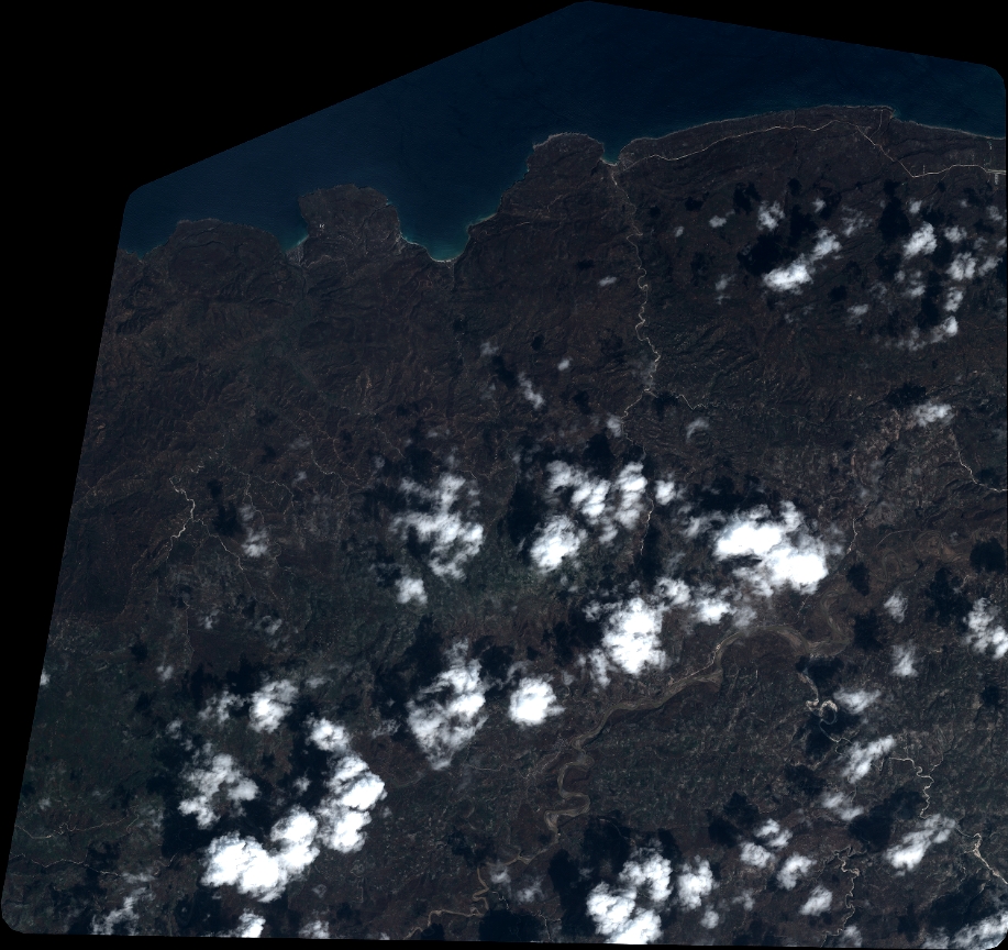
Quicklook
Copyright