TYPE:
ORTHO
LAYER:
DS_PHR1A_201610121540123_FR1_PX_W075N18_0812_03186
FORMAT:
DIMAP
RASTER:
image/jp2
General Information
Map Name
Geometric Processing Level
Radiometric Processing Level
BASIC
Image dimensions
Number of columns
9960
Number of rows
18471
Number of spectral bands
4
Dataset framing
Vertice
Longitude (DEG)
Latitude (DEG)
Row
Col
#1
-74.50832607546403
18.6578031518546
1
#2
-74.31947426336025
18.65721405178649
#3
-74.3207910674478
18.32336741131902
#4
-74.50927749760862
18.32394523566082
Dataset sources
PHR
Coordinate Reference System
Projected Coordinate System
Geocoding tables identification
EPSG(6.3)
Projected Coordinate System name
32618
Projected Coordinate System code
urn:ogc:def:crs:EPSG::32618
Geoposition
Upper - Left Map X Coordinate
551852
Upper - Left Map Y Coordinate
2063038
Image sampling
2 x 2
Production
Production Date
2016-10-13T09:32:25.330
Job identification
2000144101-002
Dataset Producer Identification
AIRBUS DS GEO
Producer link
http://www.geo-airbusds.com
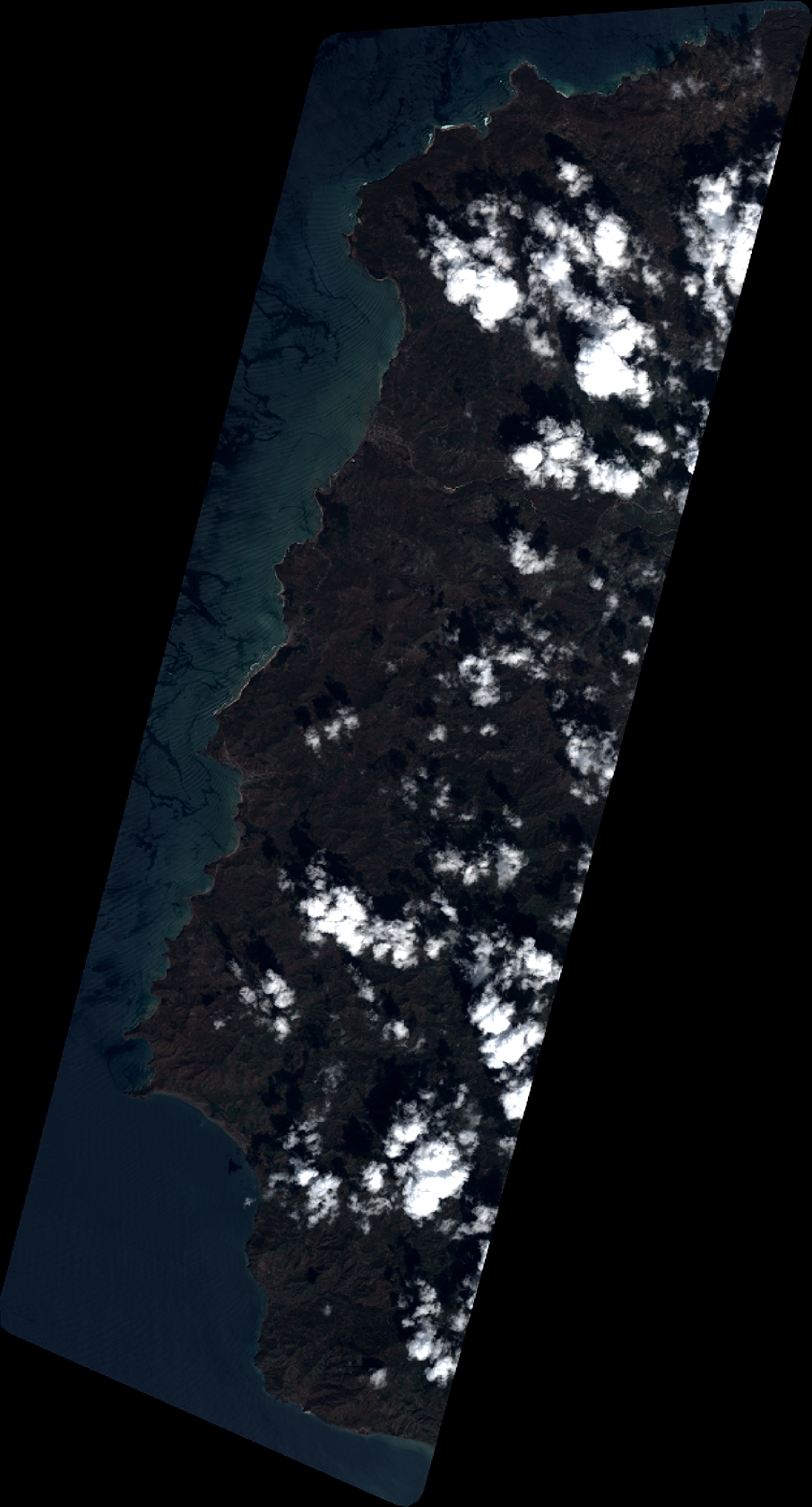
Quicklook
Copyright