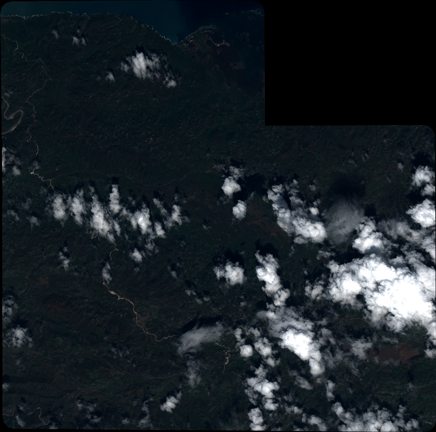
TYPE:

SYSTEM_ORTHO

LAYER:

DS_PHR1A_201611091526008_FR1_PX_W074N18_0113_01575

FORMAT:

DIMAP

RASTER:

image/jp2


General Information


Map Name

DS_PHR1A_201611091526008_FR1_PX_W074N18_0113_01575

Geometric Processing Level

SYSTEM_ORTHO

Radiometric Processing Level

BASIC


Image dimensions


Number of columns

38891

Number of rows

38572

Number of spectral bands

4


Dataset framing


Vertice

Longitude (DEG)

Latitude (DEG)

Row

Col

#1

-74.01522875679554

18.60710678726884

1

1

#2

-73.83093962597307

18.60605288308784

1

38891

#3

-73.83212307108775

18.43178407991541

38572

38891

#4

-74.01622572543071

18.43282741962664

38572

1


Dataset sources


PHR

DS_PHR1A_201611091526368_FR1_PX_W074N18_0113_01693
IDDS_PHR1A_201611091526368_FR1_PX_W074N18_0113_01693
DATE2016-11-09
TIME15:26:36.8Z
INSTRUMENTPHR1A

ID
DATE
TIME
INSTRUMENT1A

ID
DATE
TIME
INSTRUMENT1A

ID
DATE
TIME
INSTRUMENT1A

ID
DATE
TIME
INSTRUMENT1A


Coordinate Reference System


Projected Coordinate System

Geocoding tables identification

EPSG(6.3)

Projected Coordinate System name

32618

Projected Coordinate System code

urn:ogc:def:crs:EPSG::32618


Geoposition


Upper - Left Map X Coordinate

603891.5

Upper - Left Map Y Coordinate

2057641

Image sampling

0.5 x 0.5


Production


Production Date

2016-11-09T19:00:18.804

Job identification

2035606101-001

Dataset Producer Identification

AIRBUS DS GEO

Producer link

http://www.geo-airbusds.com


Quicklook


Copyright


©CNES_2016, distribution AIRBUS DS, France, all rights reserved