TYPE:
ORTHO
LAYER:
ORT_SPOT7_20170214_150306600_000
FORMAT:
DIMAP
RASTER:
image/jp2
General Information
Map Name
Geometric Processing Level
Radiometric Processing Level
BASIC
Image dimensions
Number of columns
10575
Number of rows
10217
Number of spectral bands
4
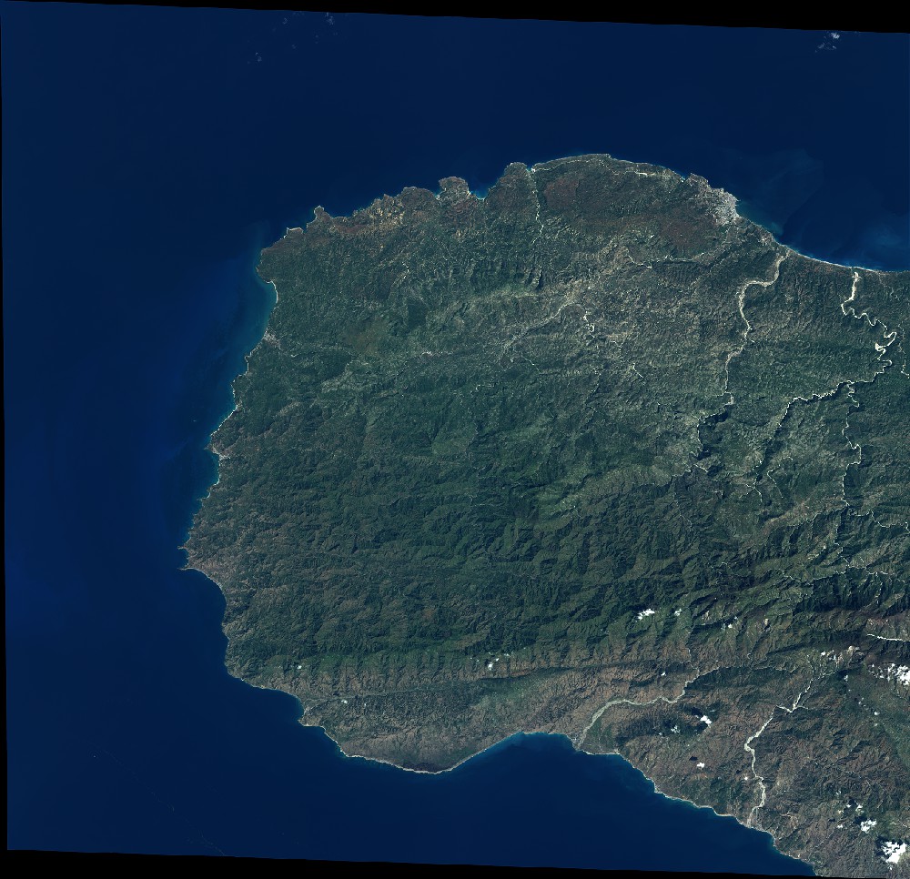
Dataset framing
Vertice
Longitude (DEG)
Latitude (DEG)
Row
Col
#1
-74.5969517058
18.7740412174
1
#2
-73.995017559
18.7717738599
#3
-73.9982430625
18.217855434
#4
-74.5982455159
18.2200512508
Dataset sources
SPOT
Coordinate Reference System
Projected Coordinate System
Geocoding tables identification
ITU(0.0)
Projected Coordinate System name
32618 WGS84/UTM 18N (N. hemisphere - 78W to 72W)
Projected Coordinate System code
urn:ogc:def:crs:EPSG::32618
Geoposition
Upper - Left Map X Coordinate
542478.0
Upper - Left Map Y Coordinate
2075874.0
Image sampling
6.0 x 6.0
Production
Production Date
2017-04-04T15:33:05.00Z
Job identification
SPOT7_20170404_15072316ybc4jnvajm1_1
Dataset Producer Identification
"SRD GEOSUD / IRD, Irstea, IGN"
Producer link
http://geosud.teledetection.fr/
Quicklook
Copyright