TYPE:
SENSOR
LAYER:
SEN_SPOT6_20170904_145948300_000
FORMAT:
DIMAP
RASTER:
image/tiff
General Information
Map Name
Geometric Processing Level
Radiometric Processing Level
BASIC
Image dimensions
Number of columns
9652
Number of rows
9481
Number of spectral bands
4
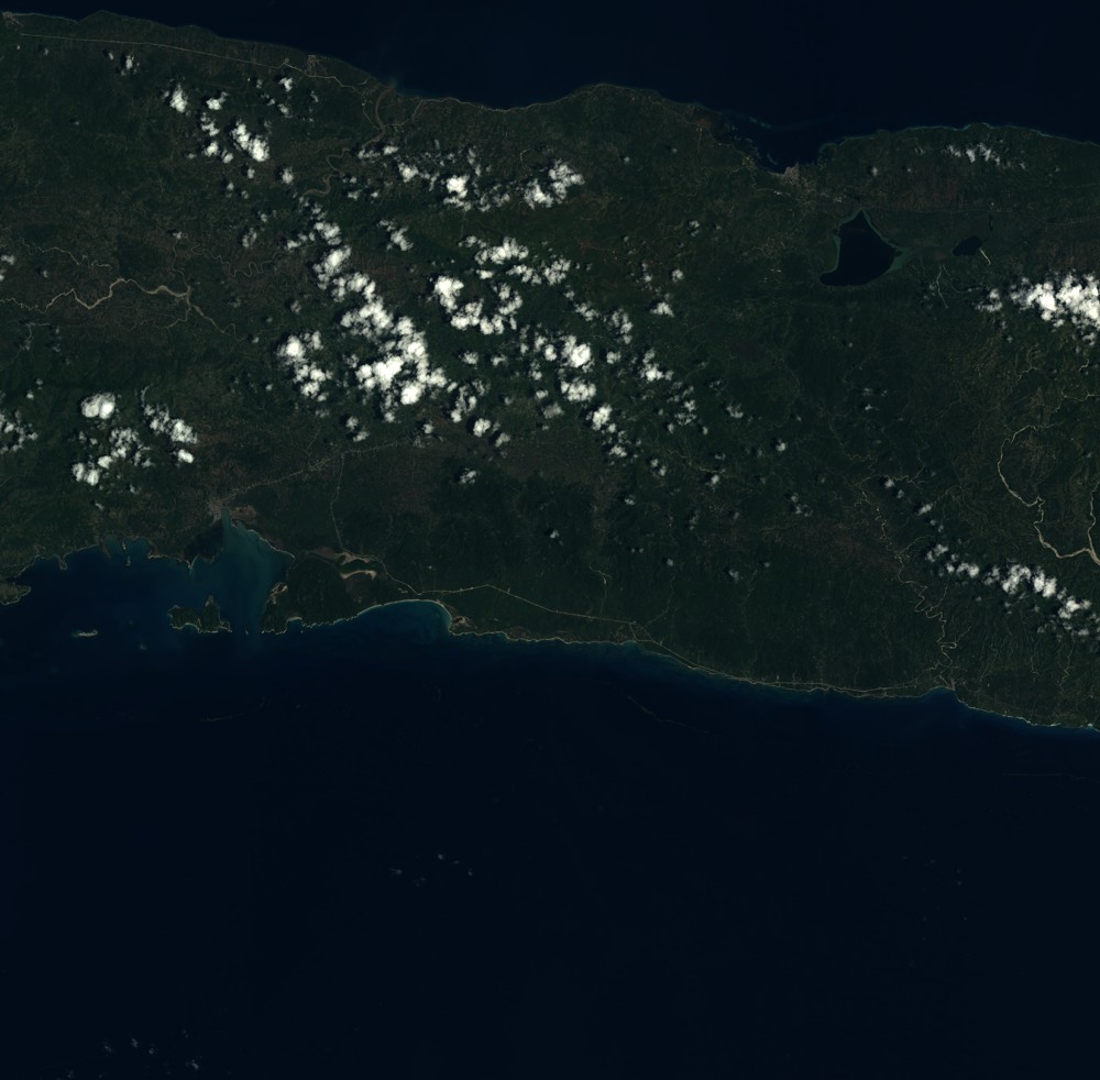
Dataset framing
Vertice
Longitude (DEG)
Latitude (DEG)
Row
Col
#1
-73.5123824436
18.5339076294
1
#2
-72.9242707874
18.5281471598
#3
-72.9268691563
17.9894653106
#4
-73.509216761
17.9945213715
Dataset sources
SPOT
Coordinate Reference System
Projected Coordinate System
Geocoding tables identification
ITU(0.0)
Production
Production Date
2017-09-05T12:32:14.00Z
Job identification
SPOT6_20170905_1216411i7f5e0upka25_1
Dataset Producer Identification
"SRD GEOSUD / IRD, Irstea, IGN"
Producer link
http://geosud.teledetection.fr/
Quicklook
Copyright