TYPE:
SENSOR
LAYER:
SEN_SPOT6_20170904_150005000_000
FORMAT:
DIMAP
RASTER:
image/tiff
General Information
Map Name
Geometric Processing Level
Radiometric Processing Level
BASIC
Image dimensions
Number of columns
9652
Number of rows
8935
Number of spectral bands
4
Dataset framing
Vertice
Longitude (DEG)
Latitude (DEG)
Row
Col
#1
-74.0333463732
18.5465515915
1
#2
-73.4218947235
18.515586269
#3
-73.4252413727
17.9834219271
#4
-74.0294545588
18.0112415816
Dataset sources
SPOT
Coordinate Reference System
Projected Coordinate System
Geocoding tables identification
ITU(0.0)
Production
Production Date
2017-09-05T12:33:41.00Z
Job identification
SPOT6_20170905_1217171i3k928ulyicf_1
Dataset Producer Identification
"SRD GEOSUD / IRD, Irstea, IGN"
Producer link
http://geosud.teledetection.fr/
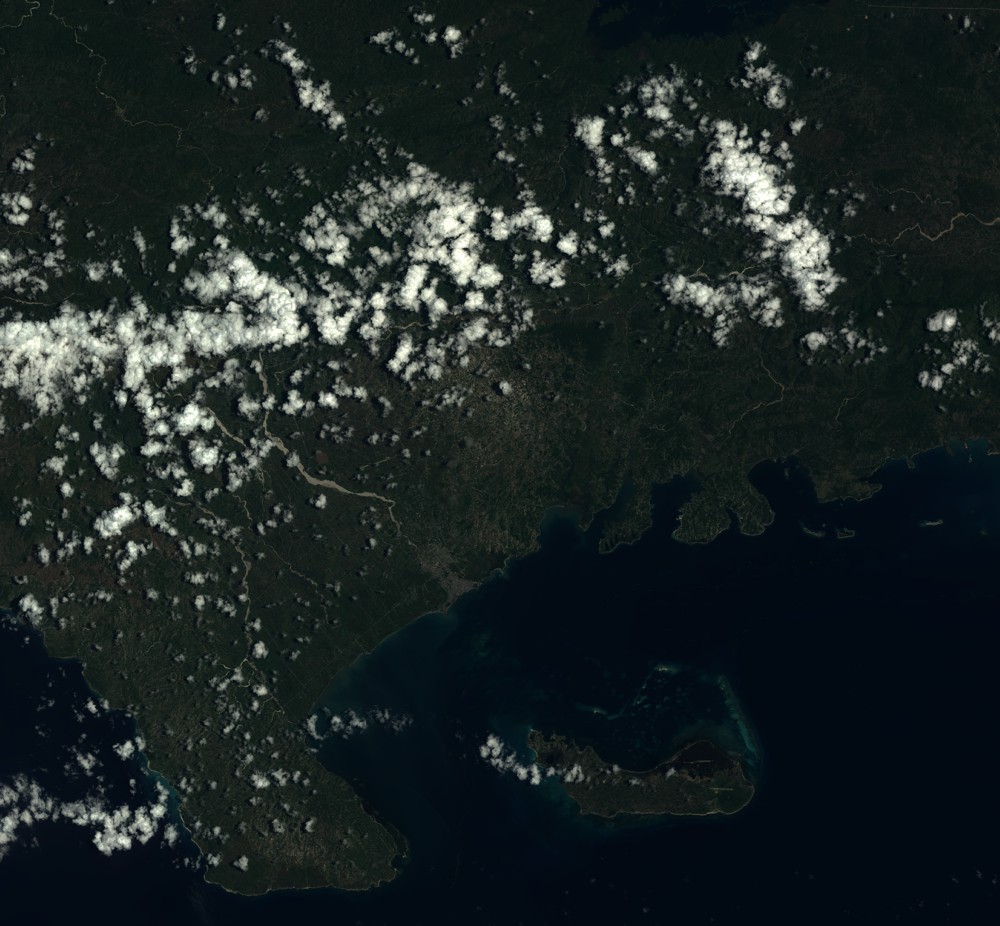
Quicklook
Copyright