TYPE:
SENSOR
LAYER:
SEN_SPOT6_20170930_150019500_000
FORMAT:
DIMAP
RASTER:
image/tiff
General Information
Map Name
Geometric Processing Level
Radiometric Processing Level
BASIC
Image dimensions
Number of columns
9651
Number of rows
5111
Number of spectral bands
4
Dataset framing
Vertice
Longitude (DEG)
Latitude (DEG)
Row
Col
#1
-73.5198721906
18.7304569632
1
#2
-72.918243561
18.7043738786
#3
-72.9198582512
18.3939044694
#4
-73.517998059
18.4177977095
Dataset sources
SPOT
Coordinate Reference System
Projected Coordinate System
Geocoding tables identification
ITU(0.0)
Production
Production Date
2017-10-02T08:15:34.00Z
Job identification
SPOT6_20171002_080451168f5dy7hpk7a_1
Dataset Producer Identification
"SRD GEOSUD / IRD, Irstea, IGN"
Producer link
http://geosud.teledetection.fr/
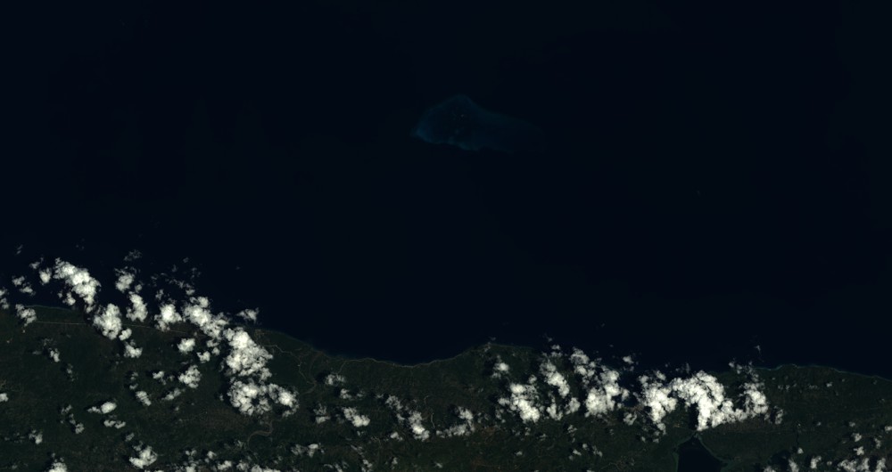
Quicklook
Copyright