TYPE:
SENSOR
LAYER:
SEN_SPOT7_20171011_151412500_000
FORMAT:
DIMAP
RASTER:
image/tiff
General Information
Map Name
Geometric Processing Level
Radiometric Processing Level
BASIC
Image dimensions
Number of columns
9652
Number of rows
5363
Number of spectral bands
4
Dataset framing
Vertice
Longitude (DEG)
Latitude (DEG)
Row
Col
#1
-74.5315071689
18.762415315
1
#2
-73.9284807406
18.7610742506
#3
-73.9272004822
18.4501075901
#4
-74.53246824
18.4518272961
Dataset sources
SPOT
Coordinate Reference System
Projected Coordinate System
Geocoding tables identification
ITU(0.0)
Production
Production Date
2017-10-12T14:01:48.00Z
Job identification
SPOT7_20171012_1350321garlpj6qf8t3_1
Dataset Producer Identification
"SRD GEOSUD / IRD, Irstea, IGN"
Producer link
http://geosud.teledetection.fr/
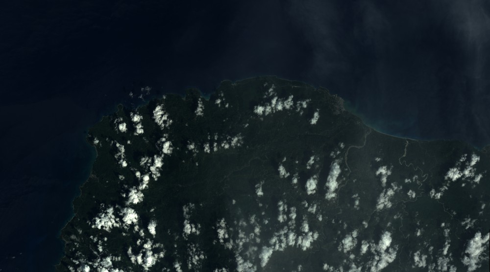
Quicklook
Copyright