TYPE:
SENSOR
LAYER:
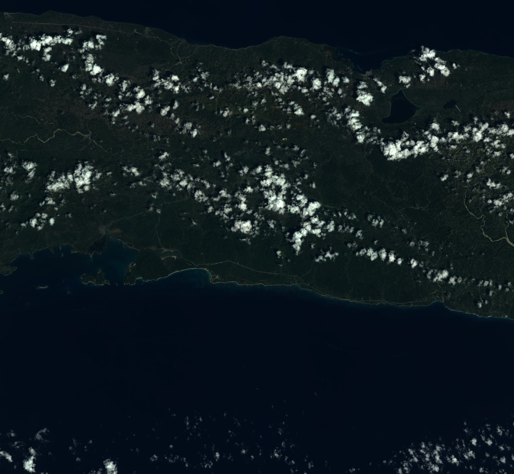
SEN_SPOT7_20171013_145929400_000
FORMAT:
DIMAP
RASTER:
image/tiff
General Information
Map Name
Geometric Processing Level
Radiometric Processing Level
BASIC
Image dimensions
Number of columns
9652
Number of rows
8903
Number of spectral bands
4
Dataset framing
Vertice
Longitude (DEG)
Latitude (DEG)
Row
Col
#1
-73.515626768
18.5419619023
1
#2
-72.9207994152
18.5200893043
#3
-72.9232847653
17.9895202402
#4
-73.5126375995
18.0083061234
Dataset sources
SPOT
Coordinate Reference System
Projected Coordinate System
Geocoding tables identification
ITU(0.0)
Production
Production Date
2017-10-16T08:29:41.00Z
Job identification
SPOT7_20171016_0813521g8ecoatu9223_1
Dataset Producer Identification
"SRD GEOSUD / IRD, Irstea, IGN"
Producer link
http://geosud.teledetection.fr/
Quicklook
Copyright