TYPE:
SENSOR
LAYER:
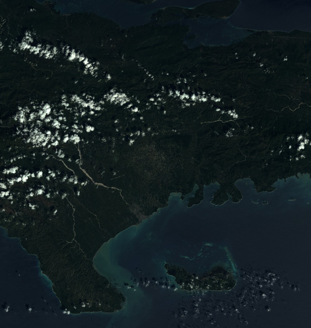
SEN_SPOT7_20171018_151014900_000
FORMAT:
DIMAP
RASTER:
image/tiff
General Information
Map Name
Geometric Processing Level
Radiometric Processing Level
BASIC
Image dimensions
Number of columns
9650
Number of rows
10167
Number of spectral bands
4
Dataset framing
Vertice
Longitude (DEG)
Latitude (DEG)
Row
Col
#1
-74.0167229389
18.5979045535
1
#2
-73.4288168766
18.5815305417
#3
-73.4272603898
17.9823037086
#4
-74.0174613434
18.0016164402
Dataset sources
SPOT
Coordinate Reference System
Projected Coordinate System
Geocoding tables identification
ITU(0.0)
Production
Production Date
2017-10-19T13:34:32.00Z
Job identification
SPOT7_20171019_1313191h9599c2bln0n_1
Dataset Producer Identification
"SRD GEOSUD / IRD, Irstea, IGN"
Producer link
http://geosud.teledetection.fr/
Quicklook
Copyright