TYPE:
SENSOR
LAYER:
DS_PHR1B_201802051540562_FR1_PX_W074N18_0212_02113
FORMAT:
DIMAP
RASTER:
image/jp2
General Information
Map Name
Geometric Processing Level
Radiometric Processing Level
BASIC
Image dimensions
Number of columns
8837
Number of rows
11751
Number of spectral bands
4
Dataset framing
Vertice
Longitude (DEG)
Latitude (DEG)
Row
Col
#1
-73.90884114993521
18.31597230931008
1
#2
-73.73699951320566
18.31642101029041
#3
-73.73731135851374
18.10352132169745
#4
-73.90931042434764
18.10405356592505
Dataset sources
PHR
Coordinate Reference System
Projected Coordinate System
Geocoding tables identification
EPSG(6.3)
Production
Production Date
2018-09-07T13:00:36.179
Job identification
3293211101-002
Dataset Producer Identification
AIRBUS DS GEO
Producer link
http://www.geo-airbusds.com
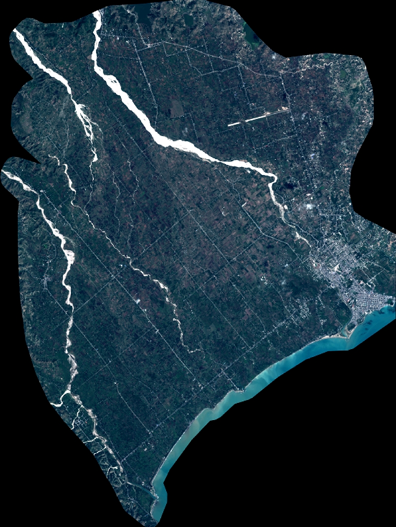
Quicklook
Copyright