TYPE:
SENSOR
LAYER:
DS_PHR1A_201804181536274_FR1_PX_W074N18_0207_01209
FORMAT:
DIMAP
RASTER:
image/jp2
General Information
Map Name
Geometric Processing Level
Radiometric Processing Level
BASIC
Image dimensions
Number of columns
8854
Number of rows
6680
Number of spectral bands
4
Dataset framing
Vertice
Longitude (DEG)
Latitude (DEG)
Row
Col
#1
-73.90630536106758
18.24883865910333
1
#2
-73.73934176794045
18.24897328804215
#3
-73.73937409145633
18.12975723697122
#4
-73.90629807819137
18.12961938936009
Dataset sources
PHR
Coordinate Reference System
Projected Coordinate System
Geocoding tables identification
EPSG(6.3)
Production
Production Date
2018-04-25T17:17:00.480
Job identification
2916765101-005
Dataset Producer Identification
AIRBUS DS GEO
Producer link
http://www.geo-airbusds.com
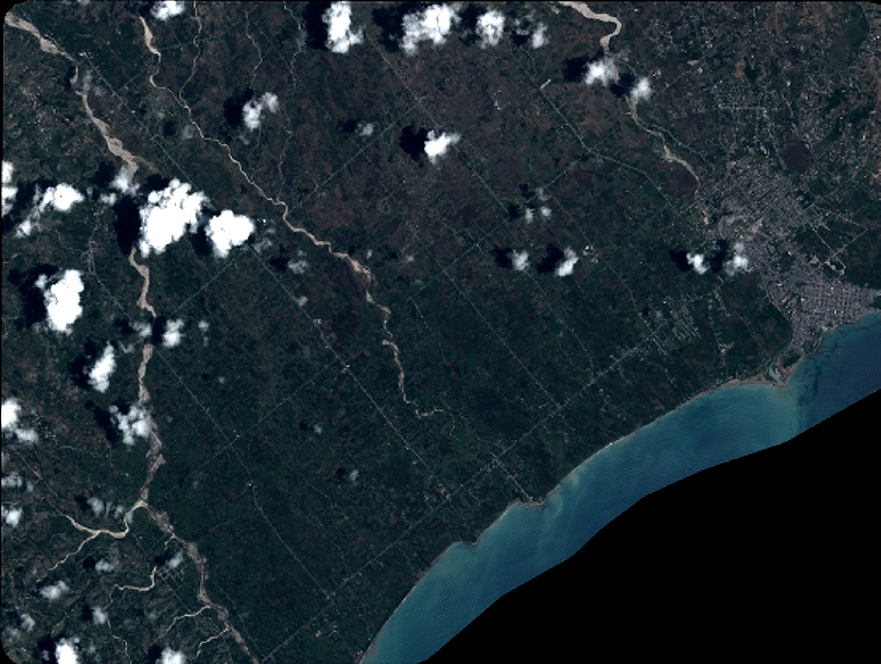
Quicklook
Copyright