TYPE:
SENSOR
LAYER:
DS_PHR1A_201804181535555_FR1_PX_W074N18_0207_01136
FORMAT:
DIMAP
RASTER:
image/jp2
General Information
Map Name
Geometric Processing Level
Radiometric Processing Level
BASIC
Image dimensions
Number of columns
34643
Number of rows
24929
Number of spectral bands
1
Dataset framing
Vertice
Longitude (DEG)
Latitude (DEG)
Row
Col
#1
-73.90644247471728
18.24875263819962
#2
-73.73688139349339
18.25093661818263
#3
-73.73692360770289
18.13073336151385
#4
-73.90627847693949
18.12891645518632
Dataset sources
PHR
Coordinate Reference System
Projected Coordinate System
Geocoding tables identification
EPSG(6.3)
Production
Production Date
2018-04-25T17:13:57.505
Job identification
2916765101-001
Dataset Producer Identification
AIRBUS DS GEO
Producer link
http://www.geo-airbusds.com
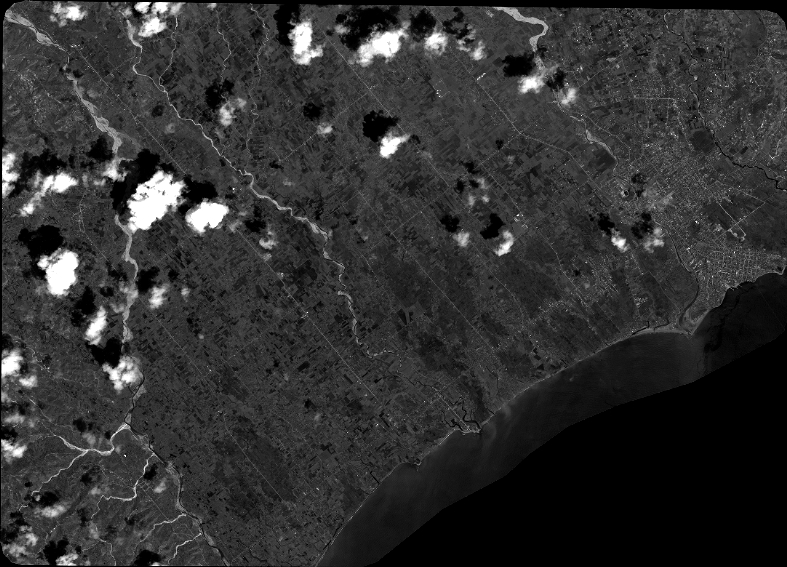
Quicklook
Copyright