TYPE:
SENSOR
LAYER:
DS_PHR1A_201804181536274_FR1_PX_W074N18_0207_01209
FORMAT:
DIMAP
RASTER:
image/jp2
General Information
Map Name
Geometric Processing Level
Radiometric Processing Level
BASIC
Image dimensions
Number of columns
35414
Number of rows
26718
Number of spectral bands
1
Dataset framing
Vertice
Longitude (DEG)
Latitude (DEG)
Row
Col
#1
-73.90630133827511
18.24883696063442
#2
-73.73933303527927
18.2489705471622
#3
-73.73936584653035
18.12974888575753
#4
-73.90629449893376
18.12961218572645
Dataset sources
PHR
Coordinate Reference System
Projected Coordinate System
Geocoding tables identification
EPSG(6.3)
Production
Production Date
2018-04-25T17:14:42.397
Job identification
2916765101-002
Dataset Producer Identification
AIRBUS DS GEO
Producer link
http://www.geo-airbusds.com
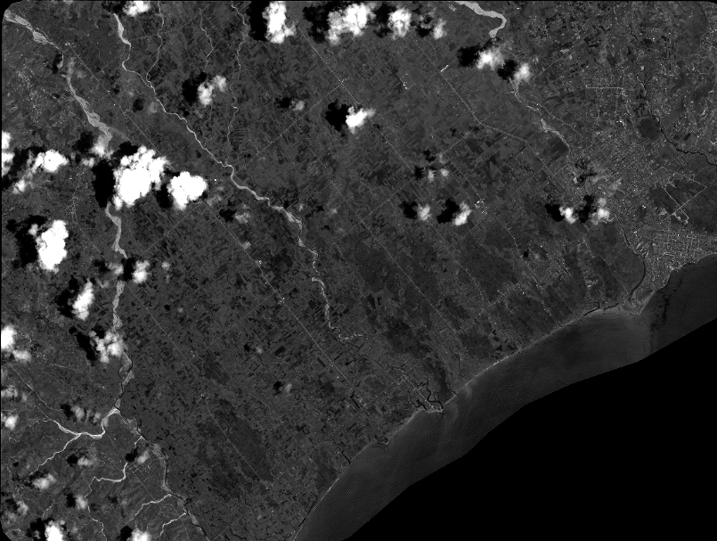
Quicklook
Copyright