TYPE:
SENSOR
LAYER:
DS_PHR1B_201804241539541_FR1_PX_W075N18_1115_01223
FORMAT:
DIMAP
RASTER:
image/jp2
General Information
Map Name
Geometric Processing Level
Radiometric Processing Level
BASIC
Image dimensions
Number of columns
9231
Number of rows
6720
Number of spectral bands
4
Dataset framing
Vertice
Longitude (DEG)
Latitude (DEG)
Row
Col
#1
-74.25080834465753
18.68233621347914
1
#2
-74.07300746558008
18.68025275176702
#3
-74.07328203610341
18.55652036525132
#4
-74.25086651423182
18.55839792595385
Dataset sources
PHR
Coordinate Reference System
Projected Coordinate System
Geocoding tables identification
EPSG(6.3)
Production
Production Date
2018-04-26T09:42:18.530
Job identification
2919076101-002
Dataset Producer Identification
AIRBUS DS GEO
Producer link
http://www.geo-airbusds.com
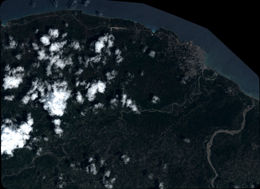
Quicklook
Copyright