TYPE:
SYSTEM_SENSOR
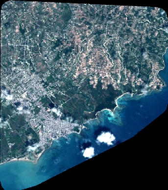
LAYER:
DS_PHR1A_201804251532148_FR1_PX_W074N18_0407_00785
FORMAT:
DIMAP
RASTER:
image/jp2
General Information
Map Name
Geometric Processing Level
Radiometric Processing Level
BASIC
Image dimensions
Number of columns
3765
Number of rows
4272
Number of spectral bands
4
Dataset framing
Vertice
Longitude (DEG)
Latitude (DEG)
Row
Col
#1
-73.77370236718393
18.24863955988037
1
#2
-73.69851313890743
18.25172687544051
#3
-73.69848046616926
18.17001525051563
#4
-73.77356488833831
18.16680019688666
Dataset sources
PHR
Coordinate Reference System
Projected Coordinate System
Geocoding tables identification
EPSG(6.3)
Production
Production Date
2018-04-27T12:45:02.227
Job identification
2919077201-004
Dataset Producer Identification
AIRBUS DS GEO
Producer link
http://www.geo-airbusds.com
Quicklook
Copyright