TYPE:
SYSTEM_SENSOR
LAYER:
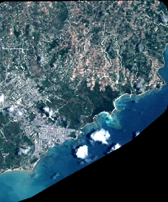
DS_PHR1A_201804251532449_FR1_PX_W074N18_0407_00827
FORMAT:
DIMAP
RASTER:
image/jp2
General Information
Map Name
Geometric Processing Level
Radiometric Processing Level
BASIC
Image dimensions
Number of columns
3791
Number of rows
4542
Number of spectral bands
4
Dataset framing
Vertice
Longitude (DEG)
Latitude (DEG)
Row
Col
#1
-73.77095659806898
18.24934618306644
1
#2
-73.69842897836553
18.24877652088971
#3
-73.69850126503003
18.16714979375176
#4
-73.77086585891701
18.16757886855647
Dataset sources
PHR
Coordinate Reference System
Projected Coordinate System
Geocoding tables identification
EPSG(6.3)
Production
Production Date
2018-04-27T12:45:04.121
Job identification
2919077201-005
Dataset Producer Identification
AIRBUS DS GEO
Producer link
http://www.geo-airbusds.com
Quicklook
Copyright