TYPE:
SYSTEM_SENSOR
LAYER:
DS_PHR1A_201804251533040_FR1_PX_W074N18_0407_00789
FORMAT:
DIMAP
RASTER:
image/jp2
General Information
Map Name
Geometric Processing Level
Radiometric Processing Level
BASIC
Image dimensions
Number of columns
3814
Number of rows
4328
Number of spectral bands
4
Dataset framing
Vertice
Longitude (DEG)
Latitude (DEG)
Row
Col
#1
-73.77307224683472
18.25006313504965
1
#2
-73.69851628014574
18.24863894392335
#3
-73.69853101207472
18.16635853231984
#4
-73.77296651031646
18.16755603368089
Dataset sources
PHR
Coordinate Reference System
Projected Coordinate System
Geocoding tables identification
EPSG(6.3)
Production
Production Date
2018-04-27T12:45:05.318
Job identification
2919077201-006
Dataset Producer Identification
AIRBUS DS GEO
Producer link
http://www.geo-airbusds.com
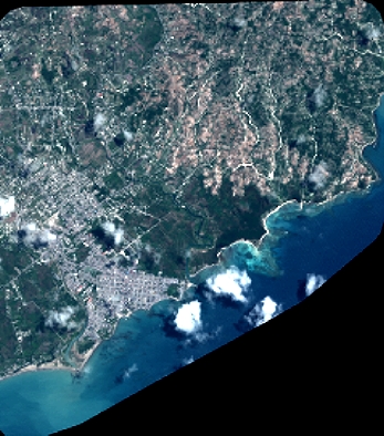
Quicklook
Copyright