TYPE:
SENSOR
LAYER:
DS_PHR1B_201805011536178_FR1_PX_W075N18_1115_01266
FORMAT:
DIMAP
RASTER:
image/jp2
General Information
Map Name
Geometric Processing Level
Radiometric Processing Level
BASIC
Image dimensions
Number of columns
9346
Number of rows
6984
Number of spectral bands
4
Dataset framing
Vertice
Longitude (DEG)
Latitude (DEG)
Row
Col
#1
-74.25080854631447
18.68216694744558
1
#2
-74.07327274331102
18.68286766523258
#3
-74.07327763404872
18.5579739945546
#4
-74.25065828535666
18.55691701046636
Dataset sources
PHR
Coordinate Reference System
Projected Coordinate System
Geocoding tables identification
EPSG(6.3)
Production
Production Date
2018-07-30T10:14:44.832
Job identification
3190507101-002
Dataset Producer Identification
AIRBUS DS GEO
Producer link
http://www.geo-airbusds.com
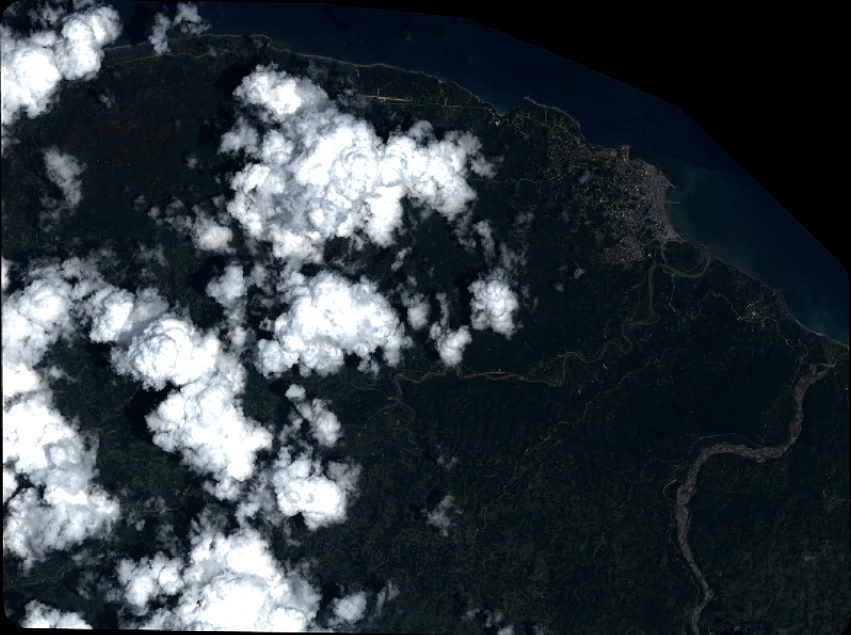
Quicklook
Copyright