TYPE:
SENSOR
LAYER:
DS_PHR1B_201806151540133_FR1_PX_W074N18_0111_01277
FORMAT:
DIMAP
RASTER:
image/jp2
General Information
Map Name
Geometric Processing Level
Radiometric Processing Level
BASIC
Image dimensions
Number of columns
40000
Number of rows
28175
Number of spectral bands
1
Dataset framing
Vertice
Longitude (DEG)
Latitude (DEG)
Row
Col
#1
-74.088361437383
18.51141498398464
#2
-73.89569520875354
18.50822454739734
#3
-73.8965060797961
18.38057374887832
#4
-74.08911287291028
18.38430752862761
Dataset sources
PHR
Coordinate Reference System
Projected Coordinate System
Geocoding tables identification
EPSG(6.3)
Production
Production Date
2018-06-18T14:17:38.719
Job identification
3076392101-001
Dataset Producer Identification
AIRBUS DS GEO
Producer link
http://www.geo-airbusds.com
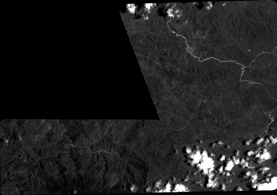
Quicklook
Copyright