TYPE:
SENSOR
LAYER:
DS_PHR1B_201806151540240_FR1_PX_W075N18_1109_01388
FORMAT:
DIMAP
RASTER:
image/jp2
General Information
Map Name
Geometric Processing Level
Radiometric Processing Level
BASIC
Image dimensions
Number of columns
4522
Number of rows
7668
Number of spectral bands
4
Dataset framing
Vertice
Longitude (DEG)
Latitude (DEG)
Row
Col
#1
-74.14168043537248
18.43410468058111
1
#2
-74.05576535557857
18.4338912118134
#3
-74.05519980657007
18.29609995579113
#4
-74.14122654129052
18.29651106131483
Dataset sources
PHR
Coordinate Reference System
Projected Coordinate System
Geocoding tables identification
EPSG(6.3)
Production
Production Date
2018-06-18T14:15:10.537
Job identification
3076390101-002
Dataset Producer Identification
AIRBUS DS GEO
Producer link
http://www.geo-airbusds.com
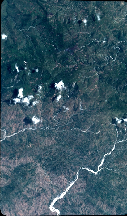
Quicklook
Copyright