TYPE:
SENSOR
LAYER:
DS_PHR1A_201806281540317_FR1_PX_W075N18_1115_01244
FORMAT:
DIMAP
RASTER:
image/jp2
General Information
Map Name
Geometric Processing Level
Radiometric Processing Level
BASIC
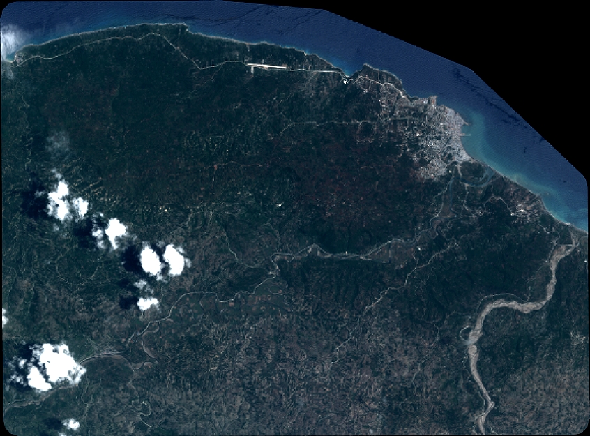
Image dimensions
Number of columns
9298
Number of rows
6874
Number of spectral bands
4
Dataset framing
Vertice
Longitude (DEG)
Latitude (DEG)
Row
Col
#1
-74.25081298035519
18.68268786960199
1
#2
-74.07297502955736
18.68097112272613
#3
-74.07327895826594
18.55666207219371
#4
-74.25087644322788
18.55841078816491
Dataset sources
PHR
Coordinate Reference System
Projected Coordinate System
Geocoding tables identification
EPSG(6.3)
Production
Production Date
2018-06-29T08:47:03.507
Job identification
3111194101-002
Dataset Producer Identification
AIRBUS DS GEO
Producer link
http://www.geo-airbusds.com
Quicklook
Copyright