TYPE:
SENSOR
LAYER:
DS_PHR1A_201806281540317_FR1_PX_W075N18_1115_01244
FORMAT:
DIMAP
RASTER:
image/jp2
General Information
Map Name
Geometric Processing Level
Radiometric Processing Level
BASIC
Image dimensions
Number of columns
37189
Number of rows
27494
Number of spectral bands
1
Dataset framing
Vertice
Longitude (DEG)
Latitude (DEG)
Row
Col
#1
-74.25081523291023
18.6826946459145
#2
-74.0729772884586
18.68097899376314
#3
-74.07328108342688
18.5566654925437
#4
-74.25087867113839
18.55841324275504
Dataset sources
PHR
Coordinate Reference System
Projected Coordinate System
Geocoding tables identification
EPSG(6.3)
Production
Production Date
2018-06-29T08:47:02.480
Job identification
3111194101-001
Dataset Producer Identification
AIRBUS DS GEO
Producer link
http://www.geo-airbusds.com
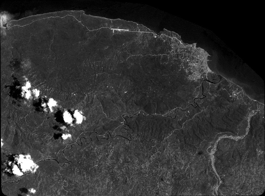
Quicklook
Copyright