TYPE:
SENSOR
LAYER:
DS_PHR1A_201807121532420_FR1_PX_W074N18_0407_00888
FORMAT:
DIMAP
RASTER:
image/jp2
General Information
Map Name
Geometric Processing Level
Radiometric Processing Level
BASIC
Image dimensions
Number of columns
3819
Number of rows
4854
Number of spectral bands
4
Dataset framing
Vertice
Longitude (DEG)
Latitude (DEG)
Row
Col
#1
-73.77344294233163
18.3100356212845
1
#2
-73.69845350490911
18.31203177061981
#3
-73.69853914047548
18.22176702567807
#4
-73.7733723625626
18.21967182287868
Dataset sources
PHR
Coordinate Reference System
Projected Coordinate System
Geocoding tables identification
EPSG(6.3)
Production
Production Date
2018-07-30T10:07:31.336
Job identification
3190499101-004
Dataset Producer Identification
AIRBUS DS GEO
Producer link
http://www.geo-airbusds.com
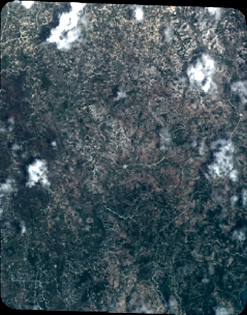
Quicklook
Copyright