TYPE:
SENSOR
LAYER:
DS_PHR1A_201807121533143_FR1_PX_W074N18_0202_01237
FORMAT:
DIMAP
RASTER:
image/jp2
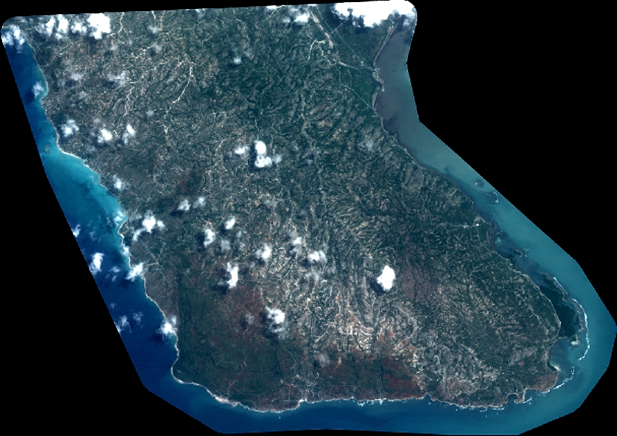
General Information
Map Name
Geometric Processing Level
Radiometric Processing Level
BASIC
Image dimensions
Number of columns
9706
Number of rows
6849
Number of spectral bands
4
Dataset framing
Vertice
Longitude (DEG)
Latitude (DEG)
Row
Col
#1
-73.95656130502239
18.14121930626039
1
#2
-73.7701678703999
18.13833207442218
#3
-73.77032874186882
18.01386446646117
#4
-73.95654934496871
18.01649329927812
Dataset sources
PHR
Coordinate Reference System
Projected Coordinate System
Geocoding tables identification
EPSG(6.3)
Production
Production Date
2018-07-30T10:09:02.930
Job identification
3190498101-002
Dataset Producer Identification
AIRBUS DS GEO
Producer link
http://www.geo-airbusds.com
Quicklook
Copyright