TYPE:
SENSOR
LAYER:
SEN_SPOT6_20180725_150706400_000
FORMAT:
DIMAP
RASTER:
image/tiff
General Information
Map Name
Geometric Processing Level
Radiometric Processing Level
BASIC
Image dimensions
Number of columns
9652
Number of rows
9073
Number of spectral bands
4
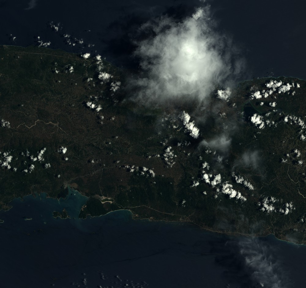
Dataset framing
Vertice
Longitude (DEG)
Latitude (DEG)
Row
Col
#1
-73.517287079
18.6085632278
1
#2
-72.9433338518
18.6034077126
#3
-72.9427853446
18.0886668305
#4
-73.5172578345
18.0948296998
Dataset sources
SPOT
Coordinate Reference System
Projected Coordinate System
Geocoding tables identification
ITU(0.0)
Production
Production Date
2018-07-26T09:46:42.00Z
Job identification
SPOT6_20180726_0931071bx0yve2kerot_1
Dataset Producer Identification
"SRD GEOSUD / IRD, Irstea, IGN"
Producer link
http://geosud.teledetection.fr/
Quicklook
Copyright