TYPE:
SENSOR
LAYER:
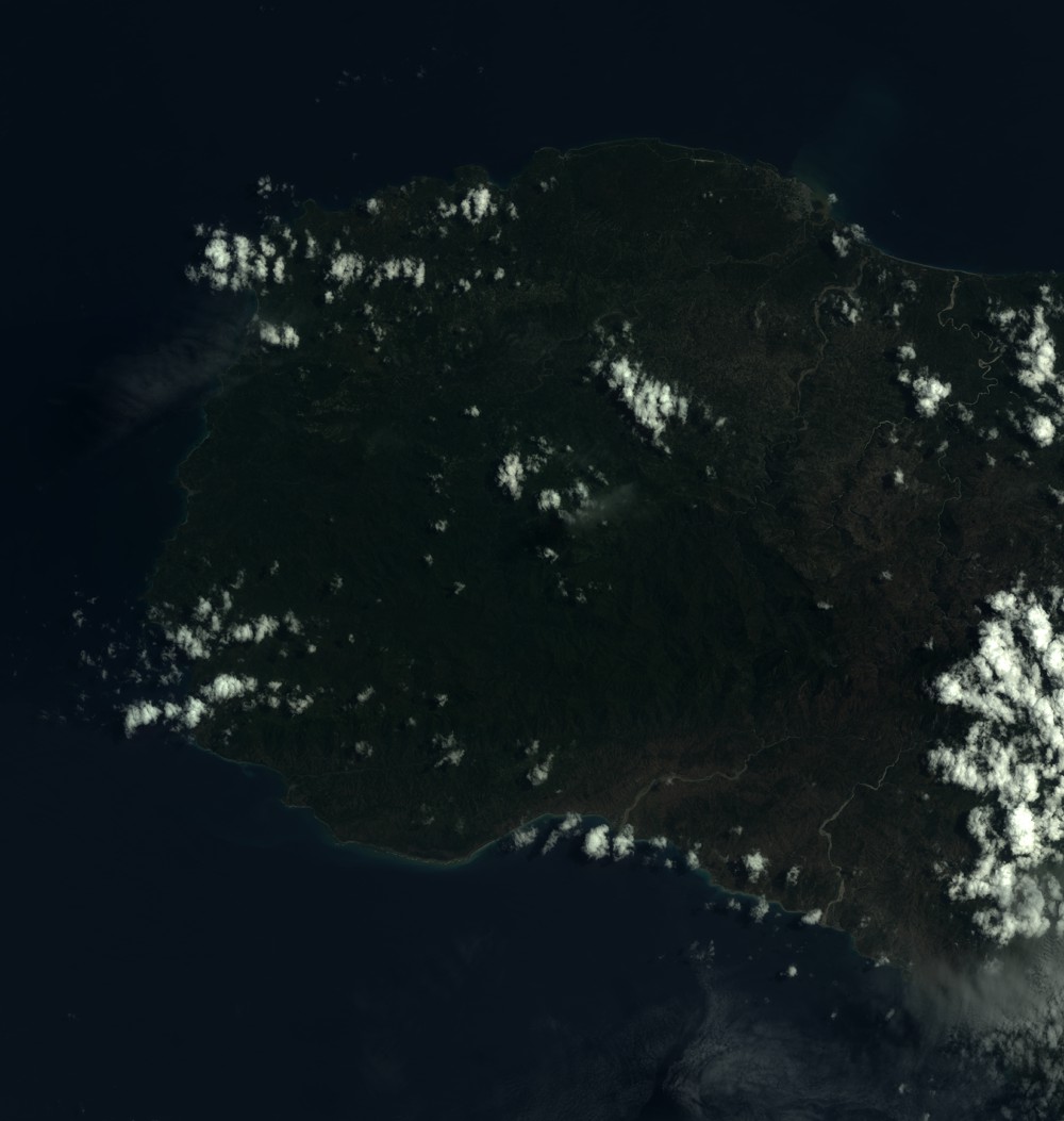
SEN_SPOT7_20180807_150815900_000
FORMAT:
DIMAP
RASTER:
image/tiff
General Information
Map Name
Geometric Processing Level
Radiometric Processing Level
BASIC
Image dimensions
Number of columns
9652
Number of rows
10163
Number of spectral bands
4
Dataset framing
Vertice
Longitude (DEG)
Latitude (DEG)
Row
Col
#1
-74.5566185828
18.7515182848
1
#2
-73.9725035767
18.7479559115
#3
-73.9737170902
18.1448292938
#4
-74.5547143635
18.1454118508
Dataset sources
SPOT
Coordinate Reference System
Projected Coordinate System
Geocoding tables identification
ITU(0.0)
Production
Production Date
2018-08-08T14:11:07.00Z
Job identification
SPOT7_20180808_134124186w2ke3pvgvt_1
Dataset Producer Identification
"SRD GEOSUD / IRD, Irstea, IGN"
Producer link
http://geosud.teledetection.fr/
Quicklook
Copyright