TYPE:
SENSOR
LAYER:
SEN_SPOT6_20180813_151039900_000
FORMAT:
DIMAP
RASTER:
image/tiff
General Information
Map Name
Geometric Processing Level
Radiometric Processing Level
BASIC
Image dimensions
Number of columns
9652
Number of rows
10177
Number of spectral bands
4
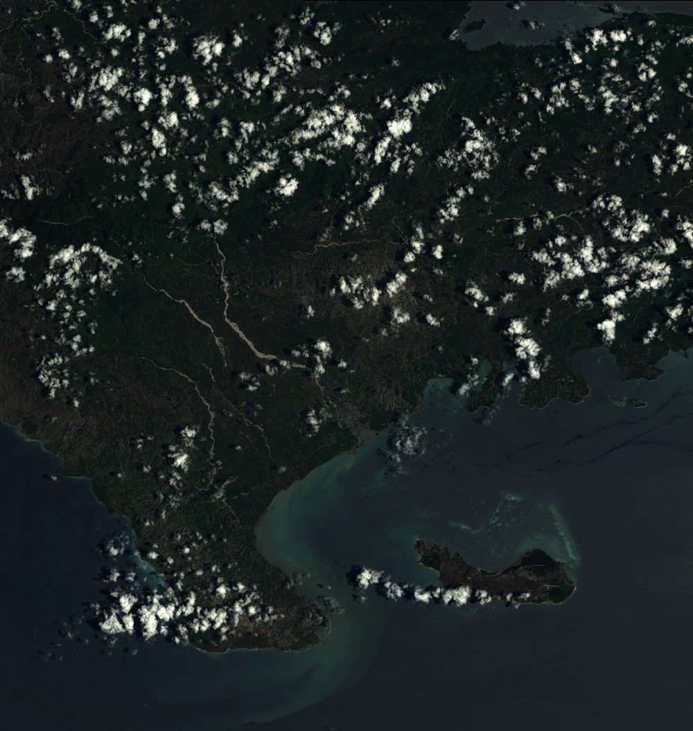
Dataset framing
Vertice
Longitude (DEG)
Latitude (DEG)
Row
Col
#1
-74.0552947167
18.5462747426
1
#2
-73.4716307592
18.5361091196
#3
-73.4700872995
17.9514555017
#4
-74.0559922681
17.9632599204
Dataset sources
SPOT
Coordinate Reference System
Projected Coordinate System
Geocoding tables identification
ITU(0.0)
Production
Production Date
2018-11-16T10:32:32.00Z
Job identification
SPOT6_20181116_1009381e9sfpolege79_1
Dataset Producer Identification
"SRD GEOSUD / IRD, Irstea, IGN"
Producer link
http://geosud.teledetection.fr/
Quicklook
Copyright