TYPE:
SENSOR
LAYER:
SEN_SPOT6_20180813_151059500_000
FORMAT:
DIMAP
RASTER:
image/tiff
General Information
Map Name
Geometric Processing Level
Radiometric Processing Level
BASIC
Image dimensions
Number of columns
9649
Number of rows
10166
Number of spectral bands
4
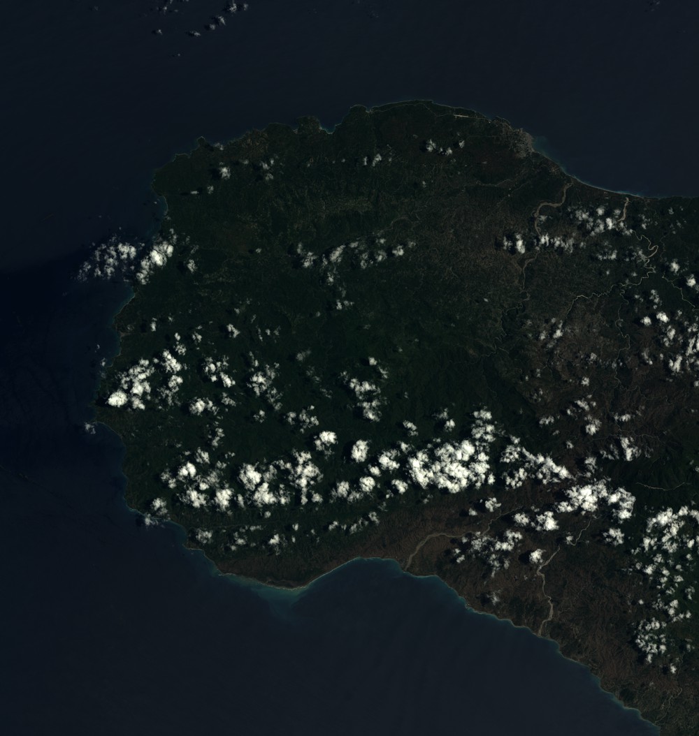
Dataset framing
Vertice
Longitude (DEG)
Latitude (DEG)
Row
Col
#1
-74.5520785671
18.7495389334
1
#2
-73.9714747718
18.757580704
#3
-73.9708175682
18.1735946191
#4
-74.5522452473
18.1642115195
Dataset sources
SPOT
Coordinate Reference System
Projected Coordinate System
Geocoding tables identification
ITU(0.0)
Production
Production Date
2018-11-16T10:30:56.00Z
Job identification
SPOT6_20181116_1010191k8hr21kd869w_1
Dataset Producer Identification
"SRD GEOSUD / IRD, Irstea, IGN"
Producer link
http://geosud.teledetection.fr/
Quicklook
Copyright