TYPE:
SENSOR
LAYER:
SEN_SPOT6_20180813_151100600_000
FORMAT:
DIMAP
RASTER:
image/tiff
General Information
Map Name
Geometric Processing Level
Radiometric Processing Level
BASIC
Image dimensions
Number of columns
9649
Number of rows
10171
Number of spectral bands
4
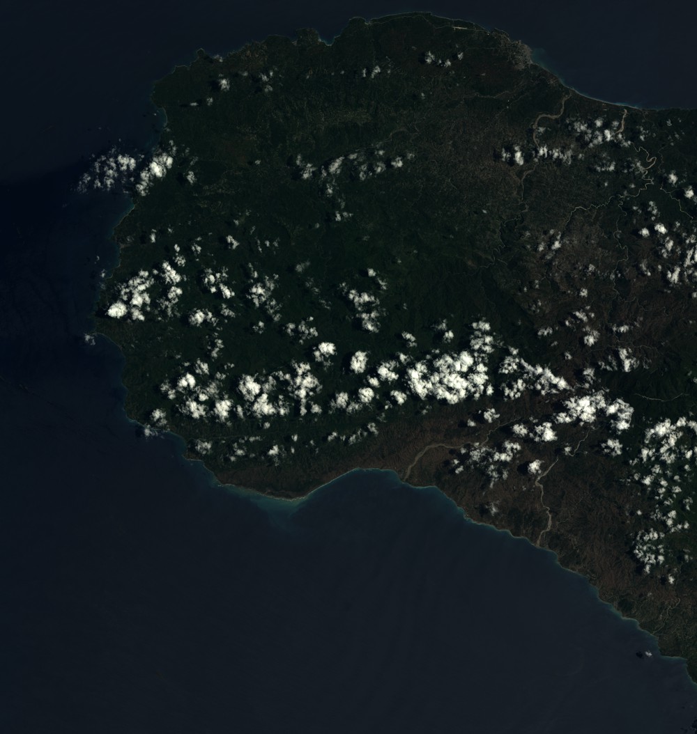
Dataset framing
Vertice
Longitude (DEG)
Latitude (DEG)
Row
Col
#1
-74.5521099979
18.6795356689
1
#2
-73.9714393209
18.6877337212
#3
-73.9706956629
18.1034942008
#4
-74.5522626779
18.0939439857
Dataset sources
SPOT
Coordinate Reference System
Projected Coordinate System
Geocoding tables identification
ITU(0.0)
Production
Production Date
2018-11-16T10:32:20.00Z
Job identification
SPOT6_20181116_1010361pl8i7knjfhqb_1
Dataset Producer Identification
"SRD GEOSUD / IRD, Irstea, IGN"
Producer link
http://geosud.teledetection.fr/
Quicklook
Copyright