TYPE:
SENSOR
LAYER:
SEN_SPOT6_20180813_151039900_000
FORMAT:
DIMAP
RASTER:
image/tiff
General Information
Map Name
Geometric Processing Level
Radiometric Processing Level
BASIC
Image dimensions
Number of columns
38609
Number of rows
40709
Number of spectral bands
1
Dataset framing
Vertice
Longitude (DEG)
Latitude (DEG)
Row
Col
#1
-74.0553244896
18.5463038461
#2
-73.4716001307
18.5361372496
#3
-73.4700563302
17.9514260783
#4
-74.0560221552
17.9632318015
Dataset sources
SPOT
Coordinate Reference System
Projected Coordinate System
Geocoding tables identification
ITU(0.0)
Production
Production Date
2018-11-16T10:34:22.00Z
Job identification
SPOT6_20181116_1009471pdli2spq2quw_1
Dataset Producer Identification
"SRD GEOSUD / IRD, Irstea, IGN"
Producer link
http://geosud.teledetection.fr/
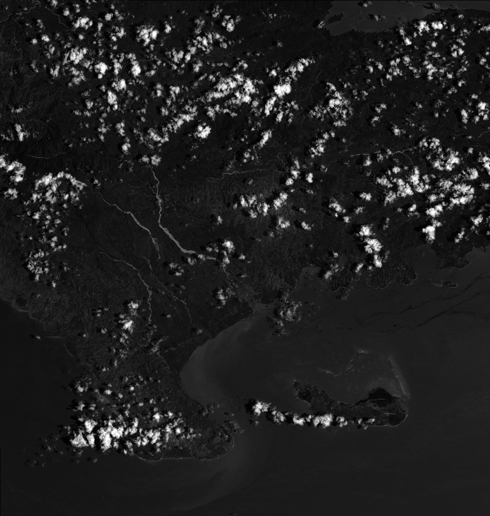
Quicklook
Copyright