TYPE:
SENSOR
LAYER:
SEN_SPOT6_20180820_150638000_000
FORMAT:
DIMAP
RASTER:
image/tiff
General Information
Map Name
Geometric Processing Level
Radiometric Processing Level
BASIC
Image dimensions
Number of columns
9652
Number of rows
8801
Number of spectral bands
4
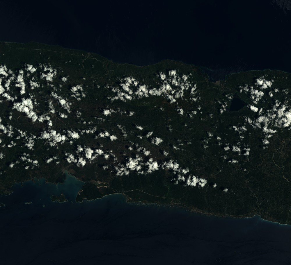
Dataset framing
Vertice
Longitude (DEG)
Latitude (DEG)
Row
Col
#1
-73.5203321443
18.6088573527
1
#2
-72.941136734
18.6009144643
#3
-72.9407746641
18.0883376802
#4
-73.5201968113
18.0984662379
Dataset sources
SPOT
Coordinate Reference System
Projected Coordinate System
Geocoding tables identification
ITU(0.0)
Production
Production Date
2018-11-16T10:42:53.00Z
Job identification
SPOT6_20181116_1012521adqyx4ya0e8z_1
Dataset Producer Identification
"SRD GEOSUD / IRD, Irstea, IGN"
Producer link
http://geosud.teledetection.fr/
Quicklook
Copyright